SIM4NEXUS

SIM4NEXUS

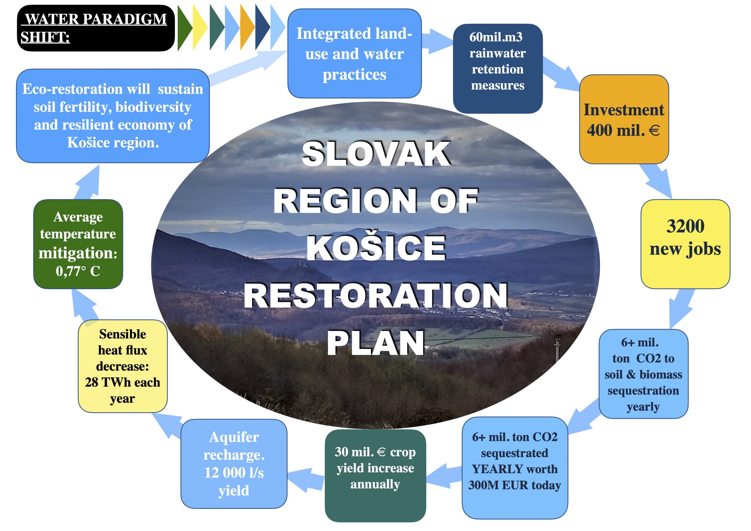
Rainwater retention is a driving force of climate-resilient landscapes.

There are many misunderstandings about the causes of climate change, and there is an urgent need not only to discuss but also to act.

The majority of existing climate models do not take water and all of its stages into account.

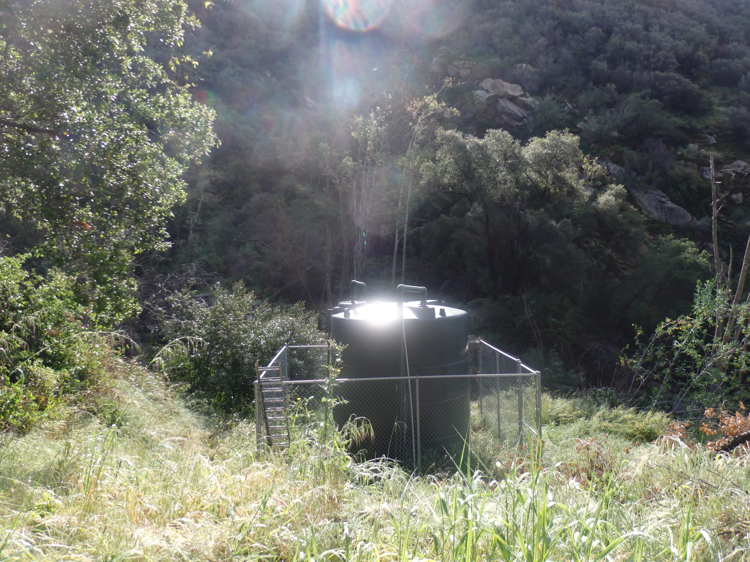
SIM4NEXUS project (www.sim4nexus.eu) examines the mutual correlation between changes in the water cycle, a carbon cycle, the development of weather extremes, and CO2 in the atmosphere. Sim4nexus is the German-Czech-Slovak cross-border cooperation project.

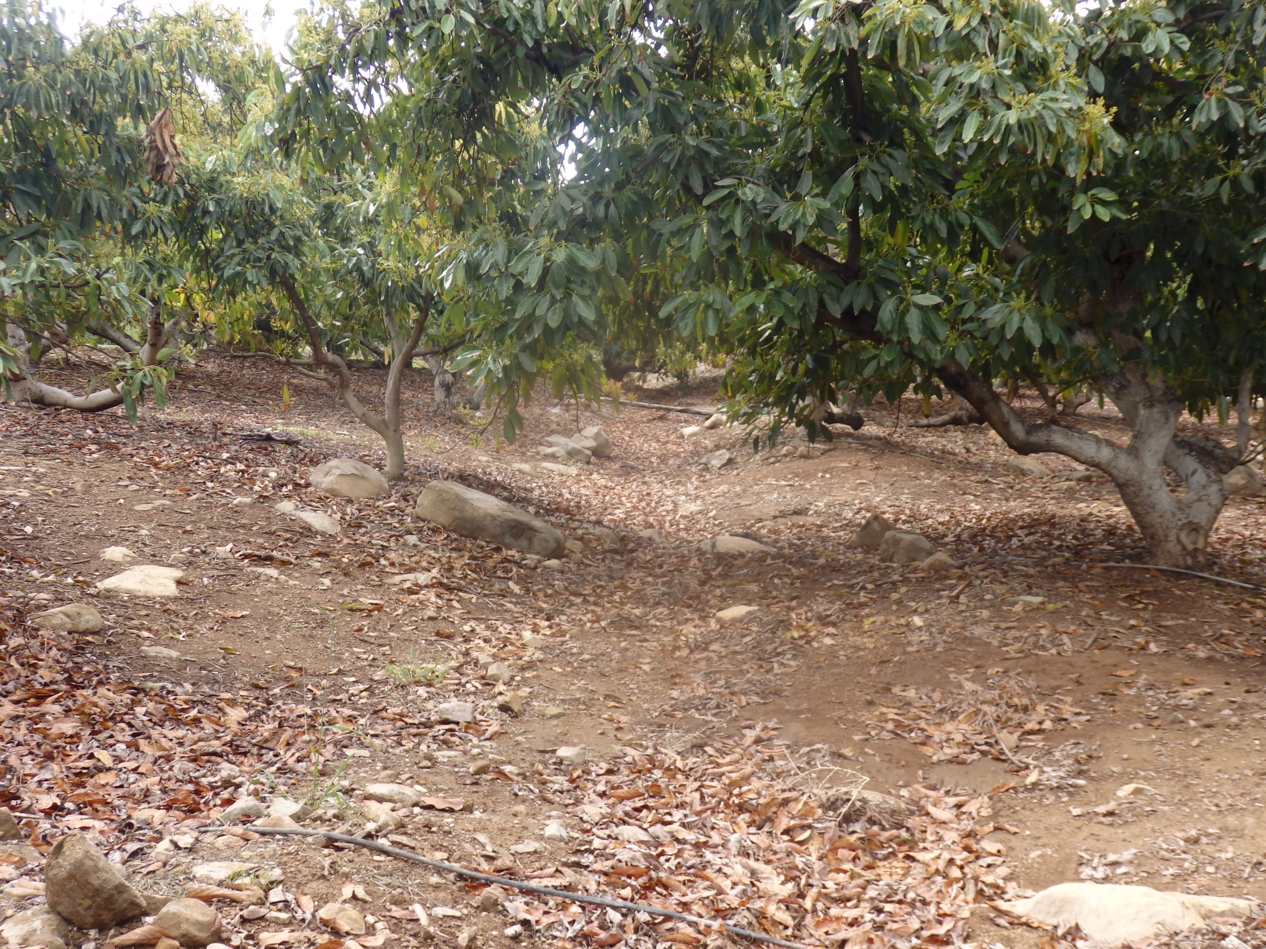
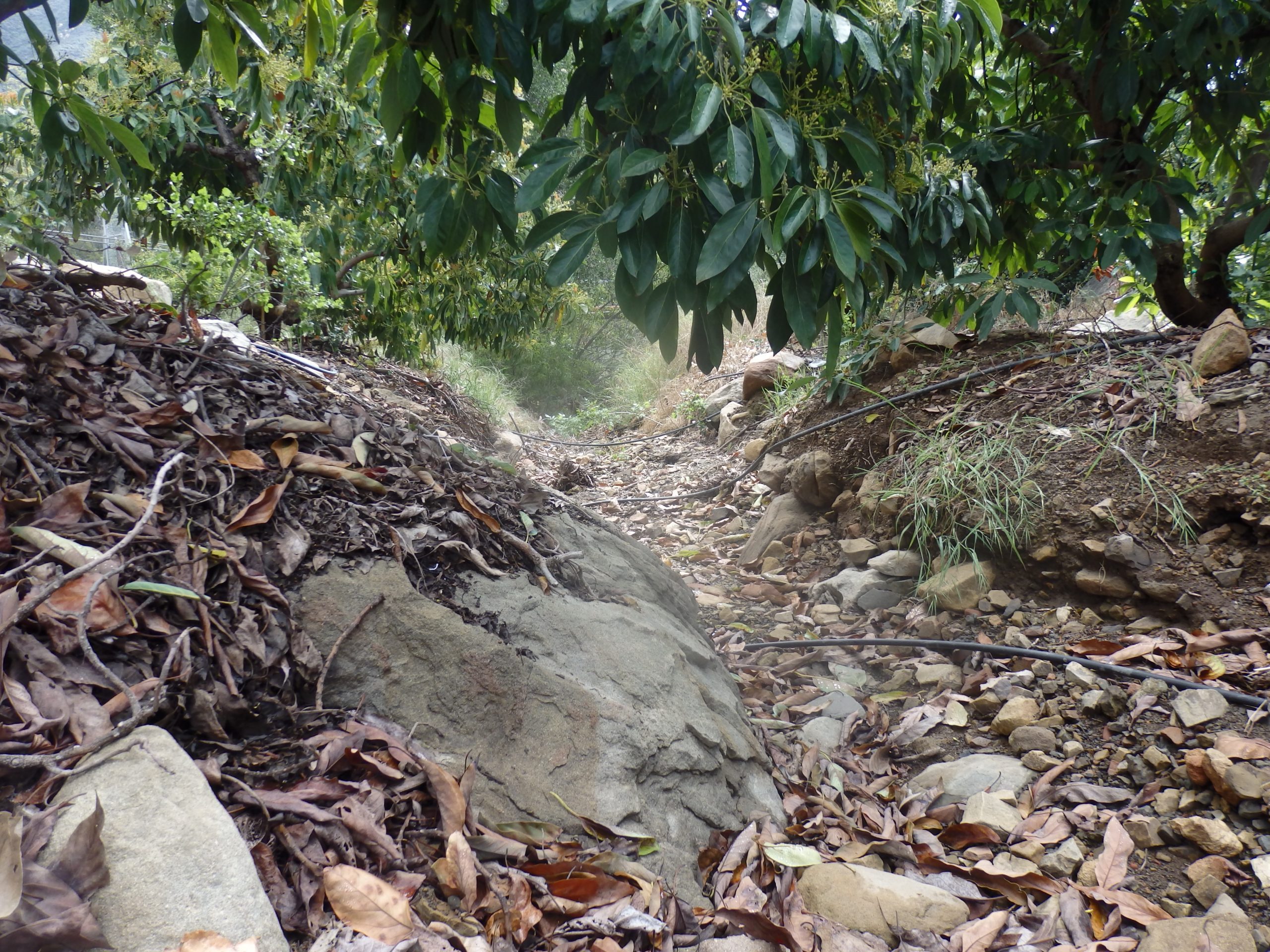
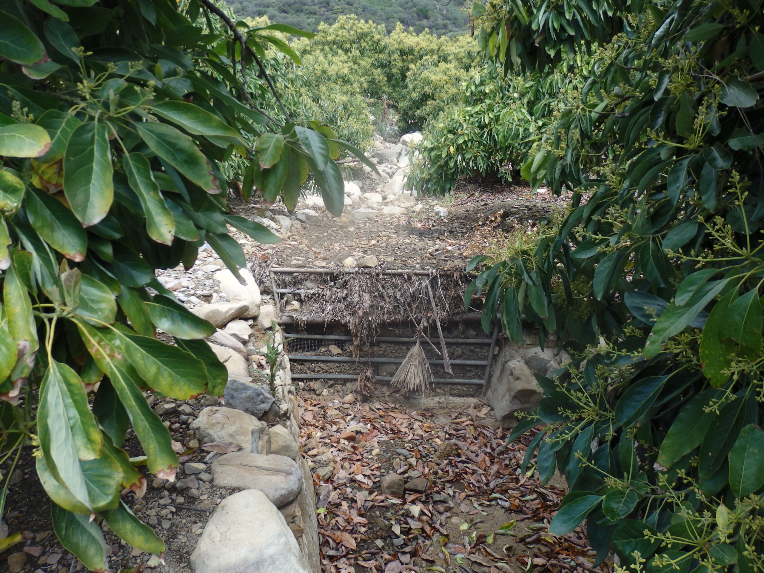
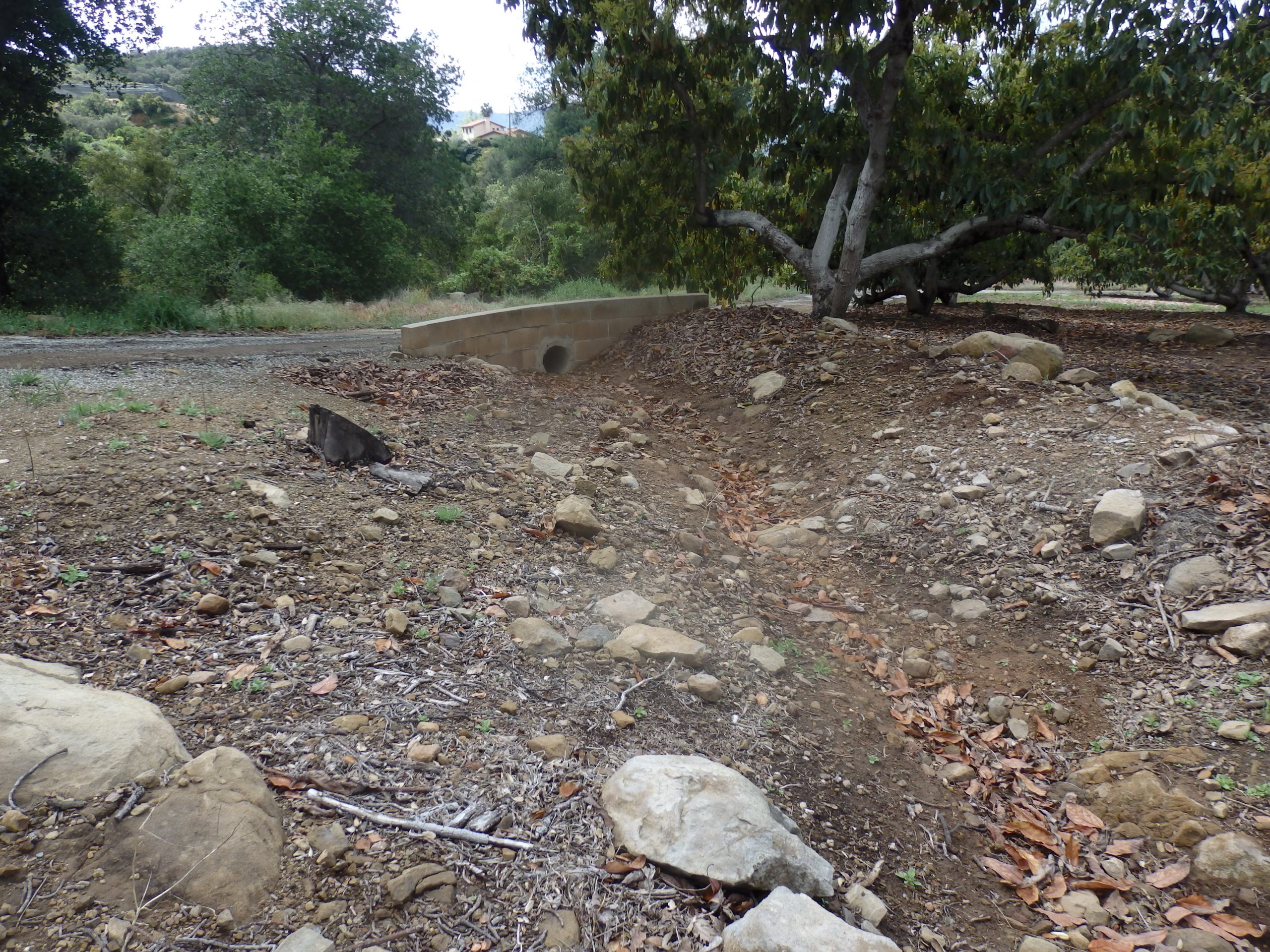
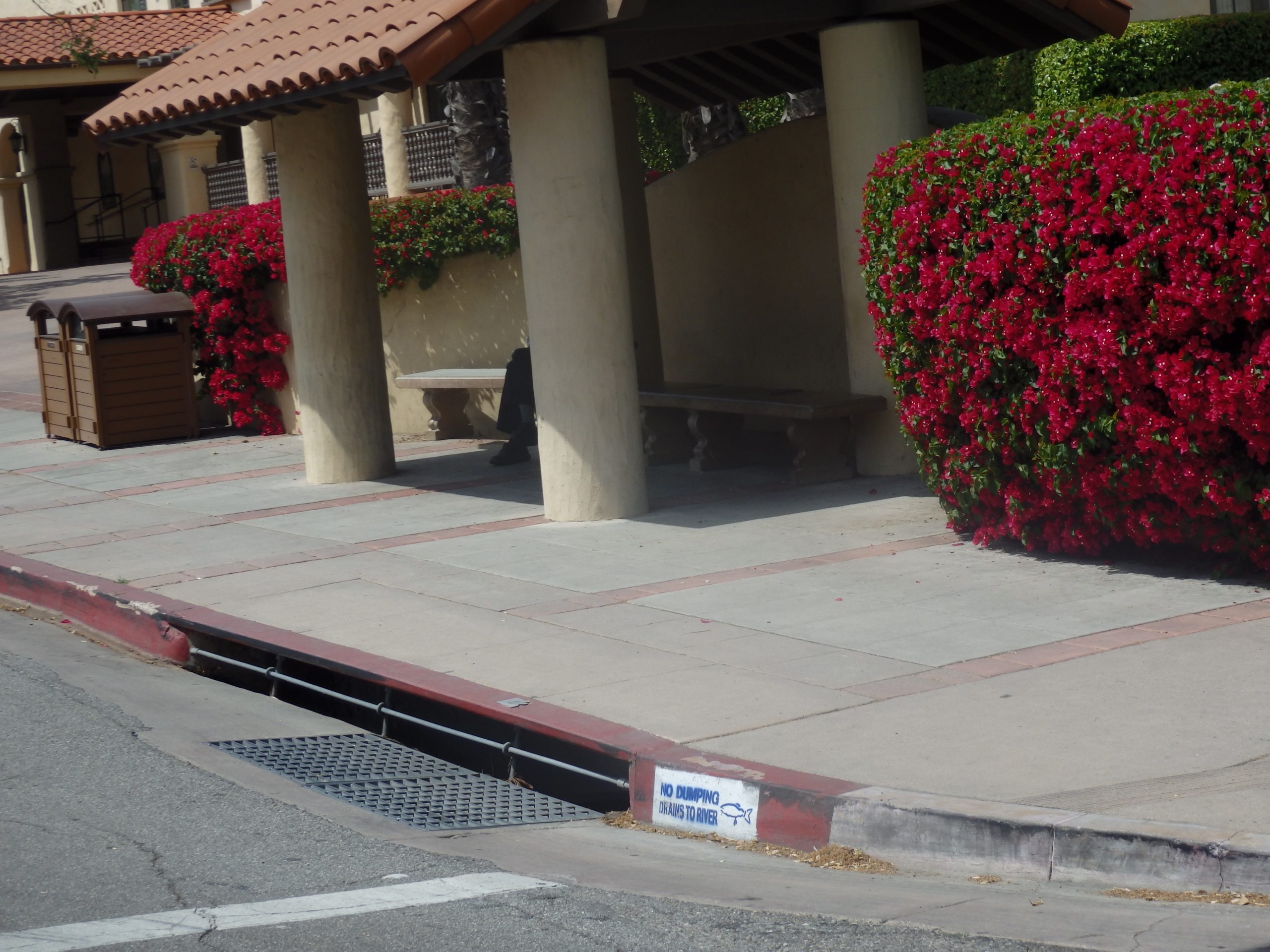
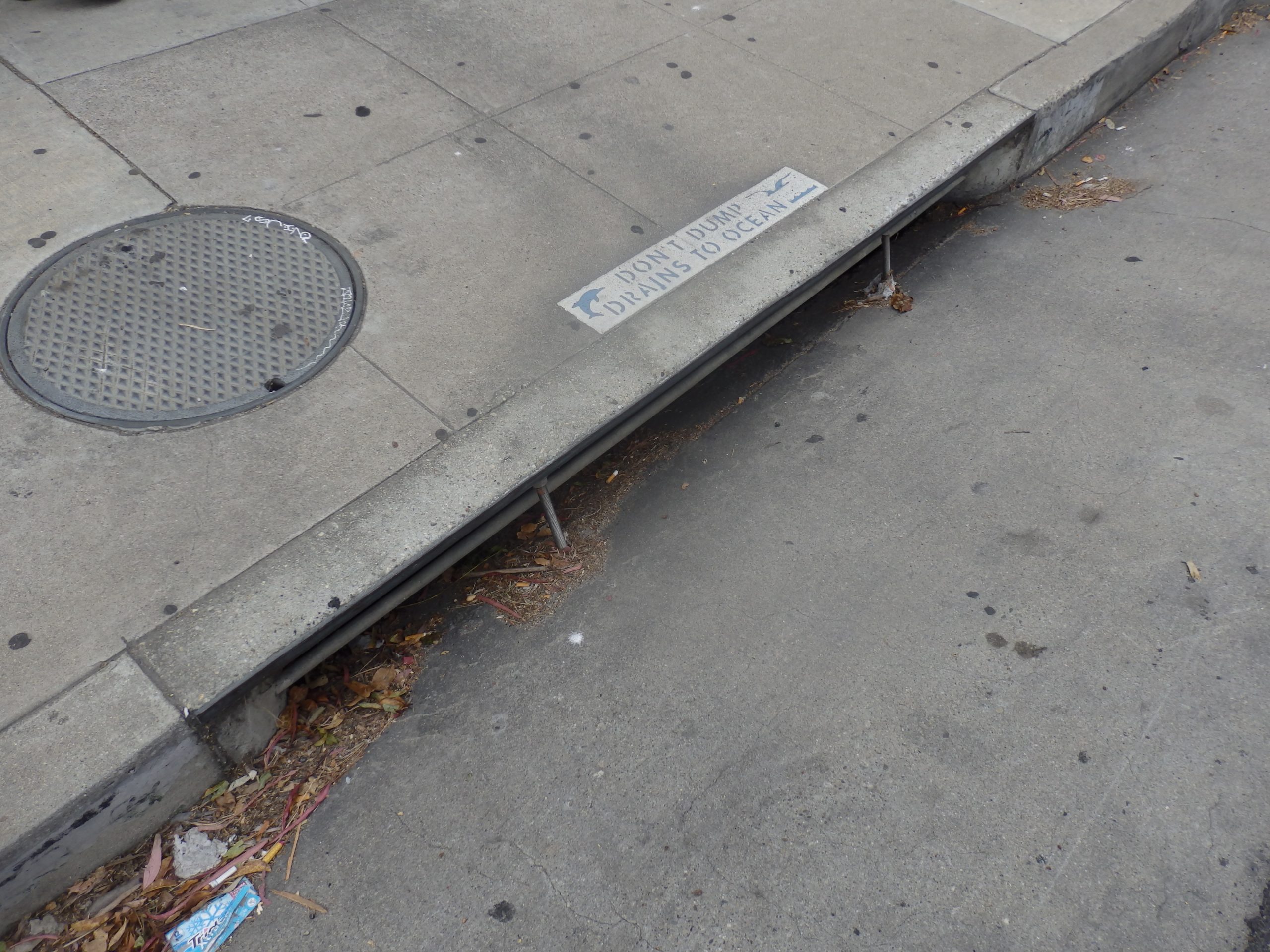
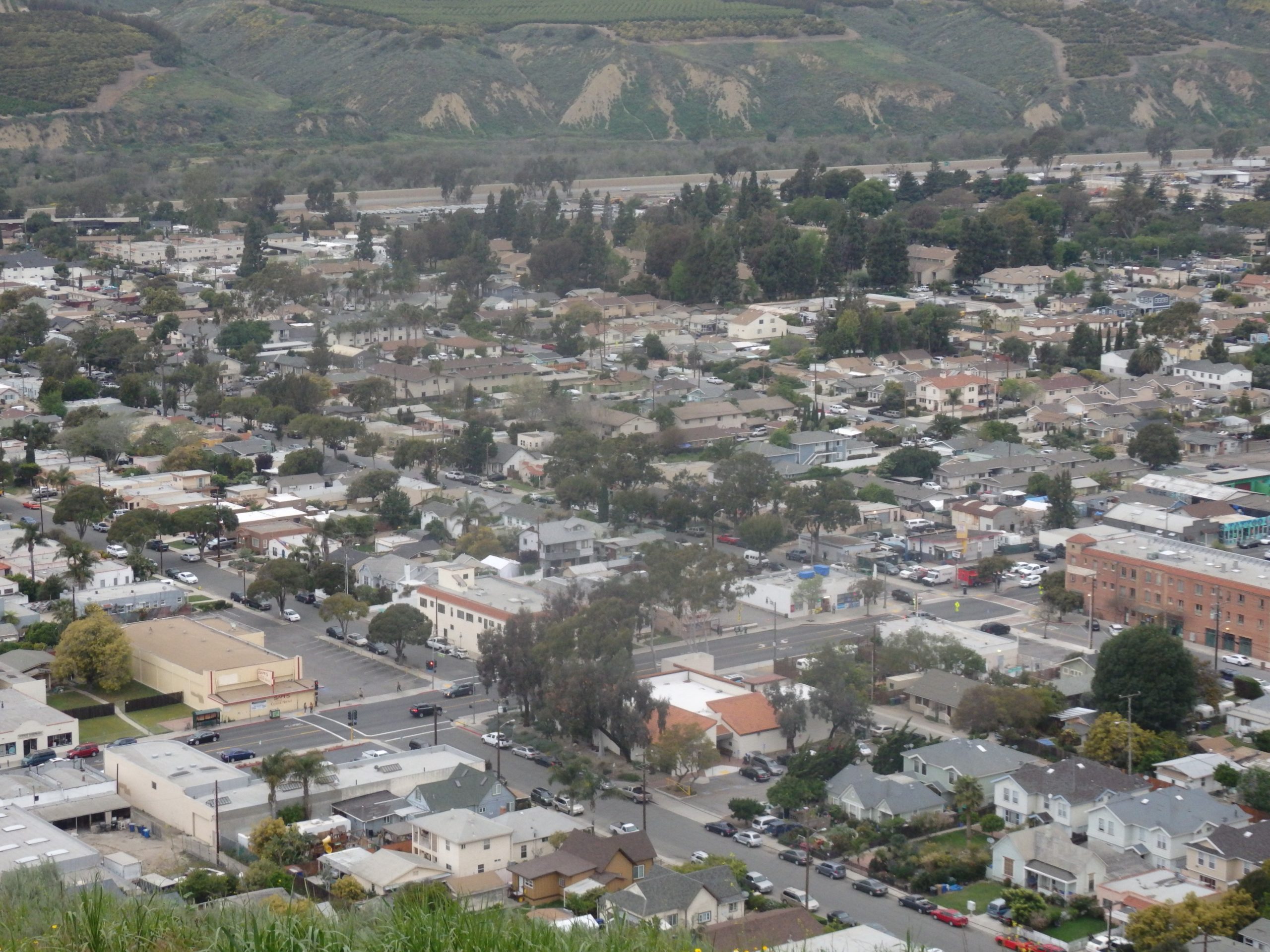
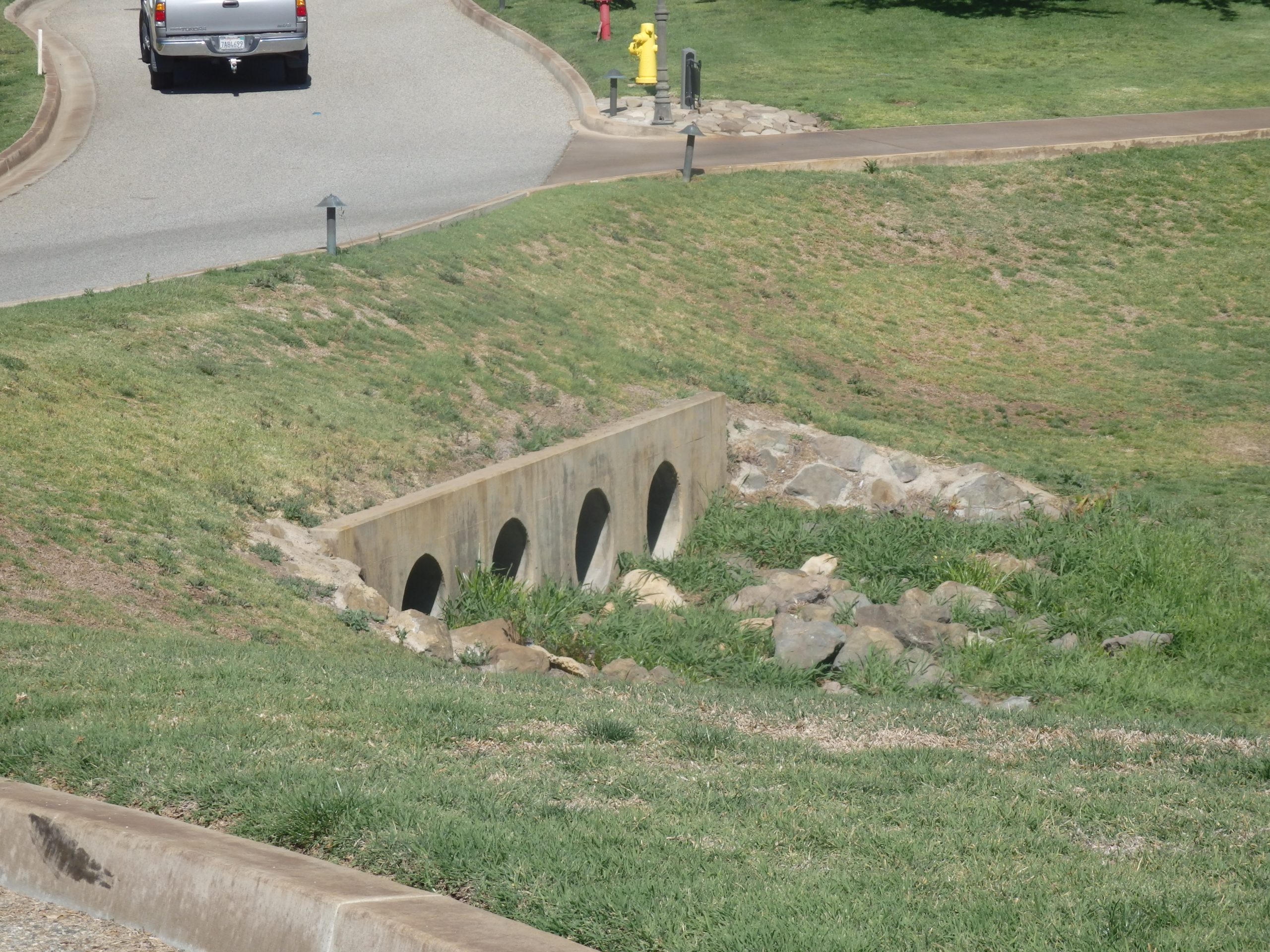
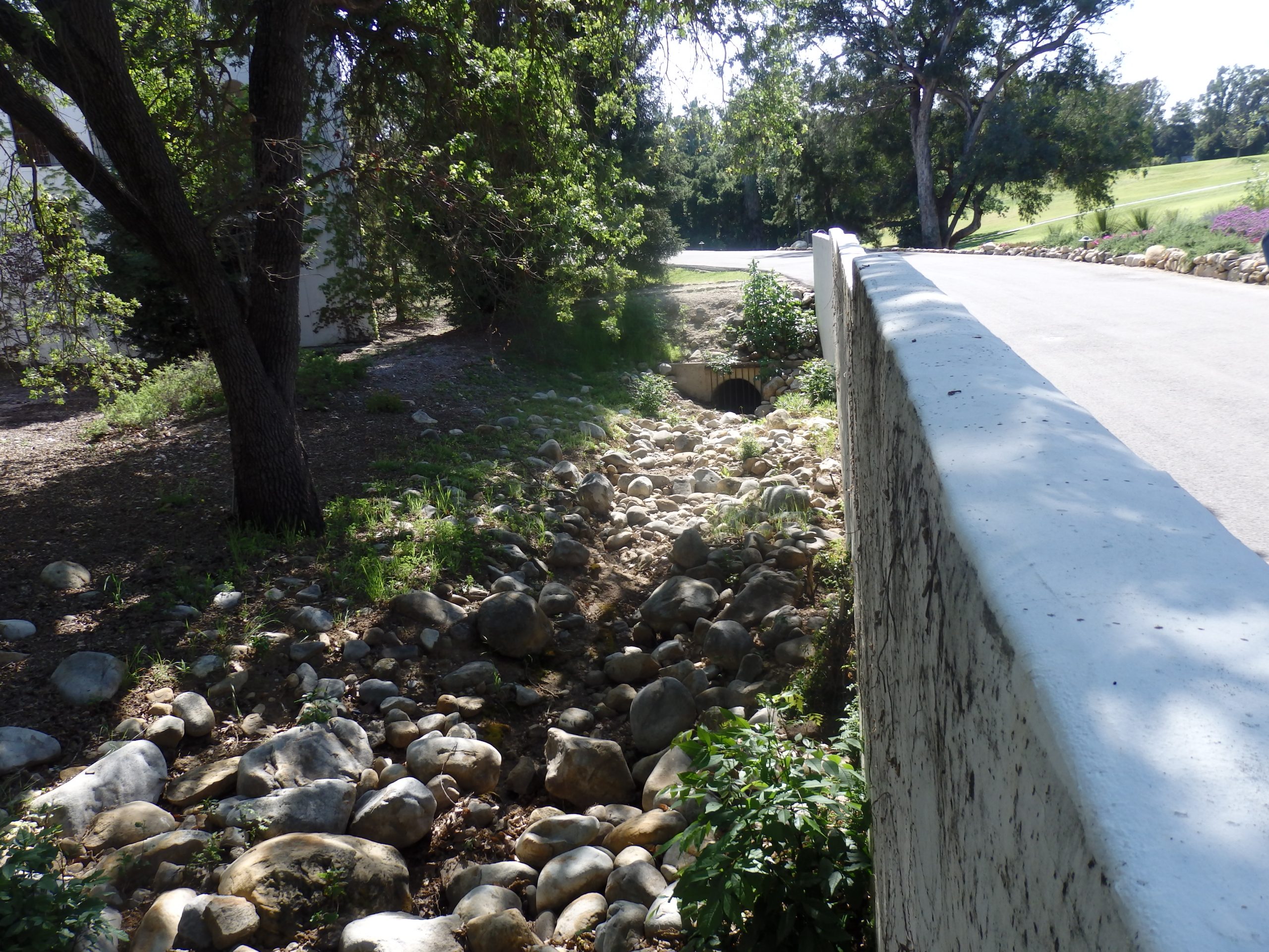
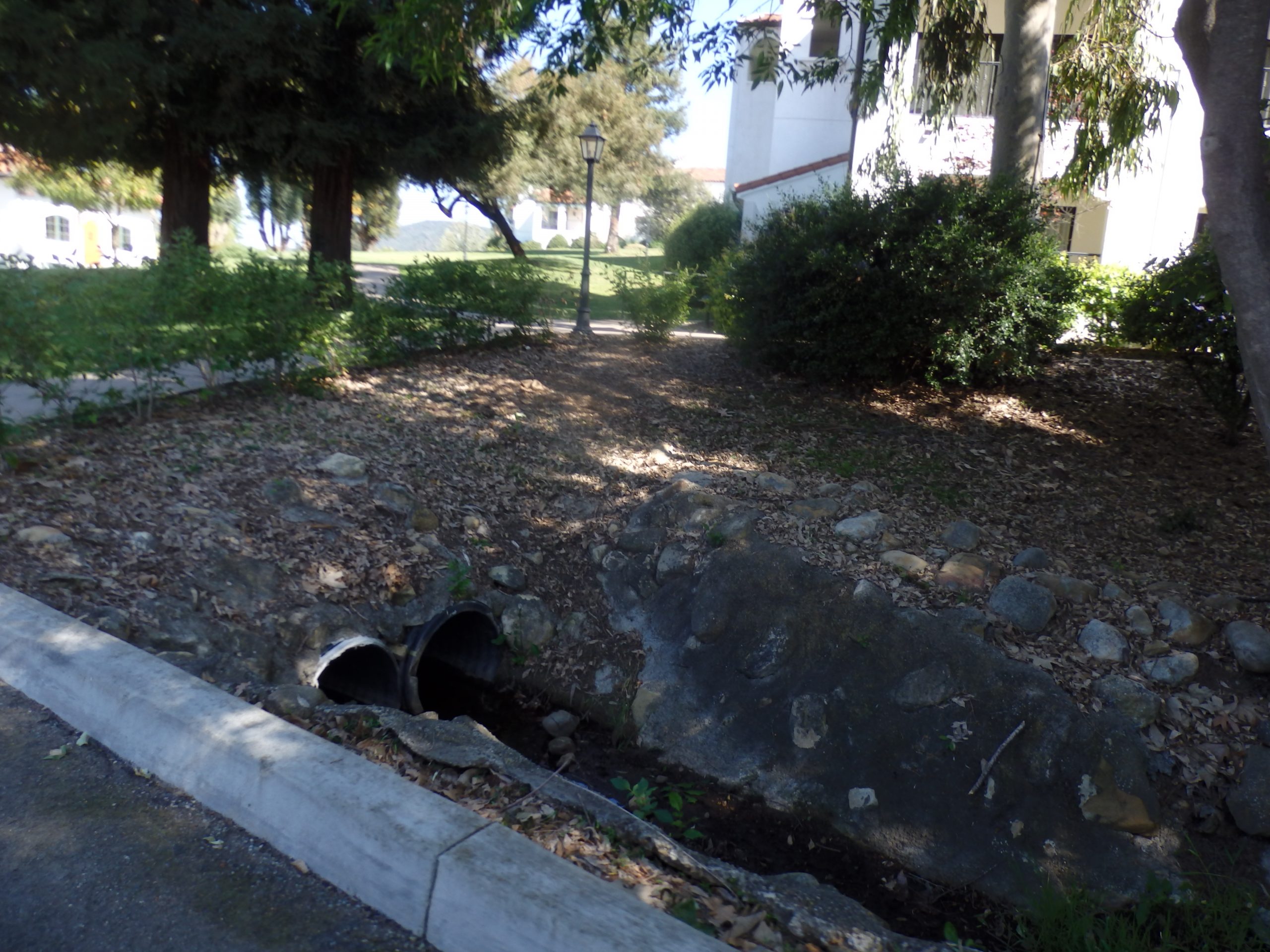
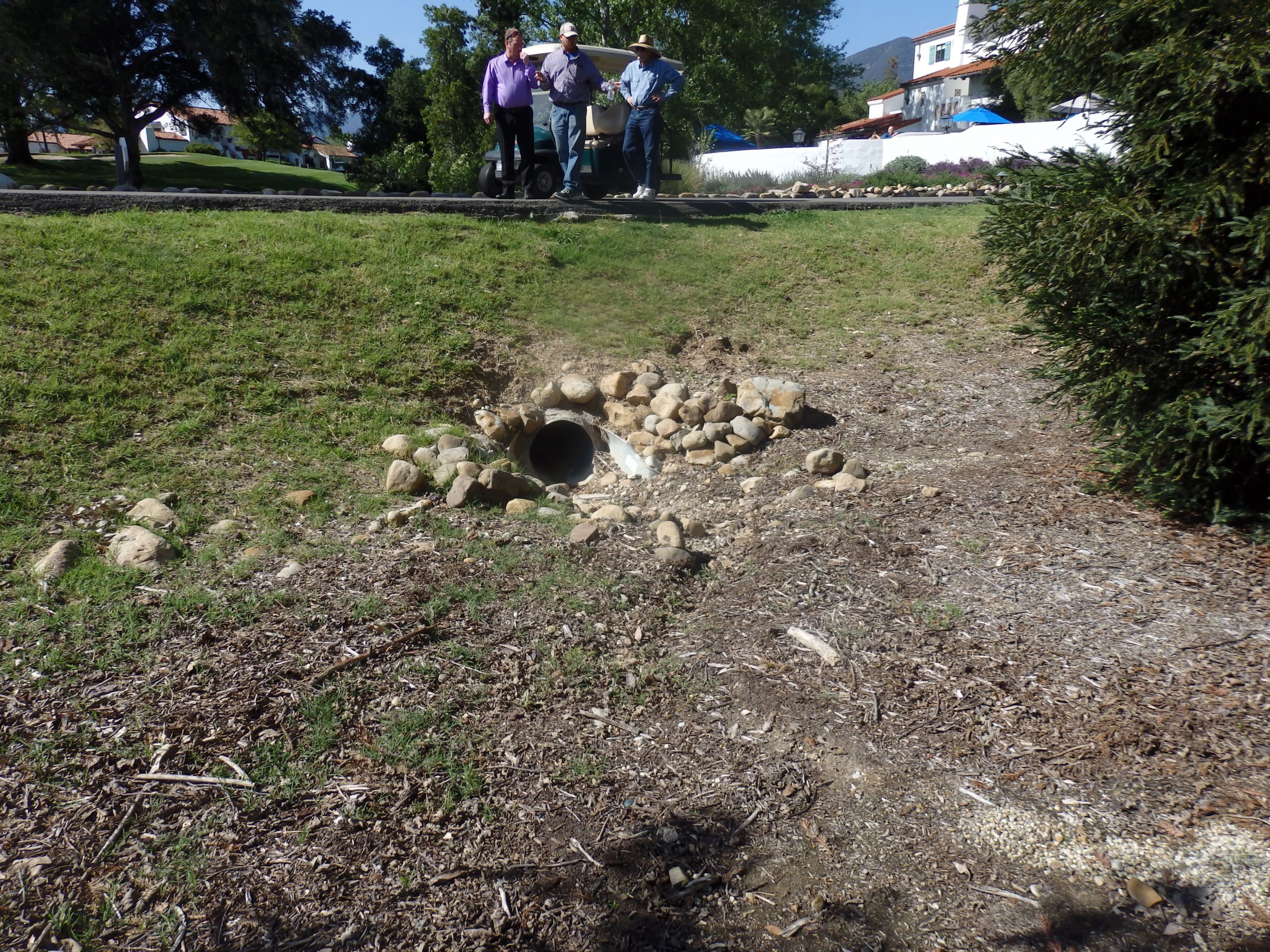
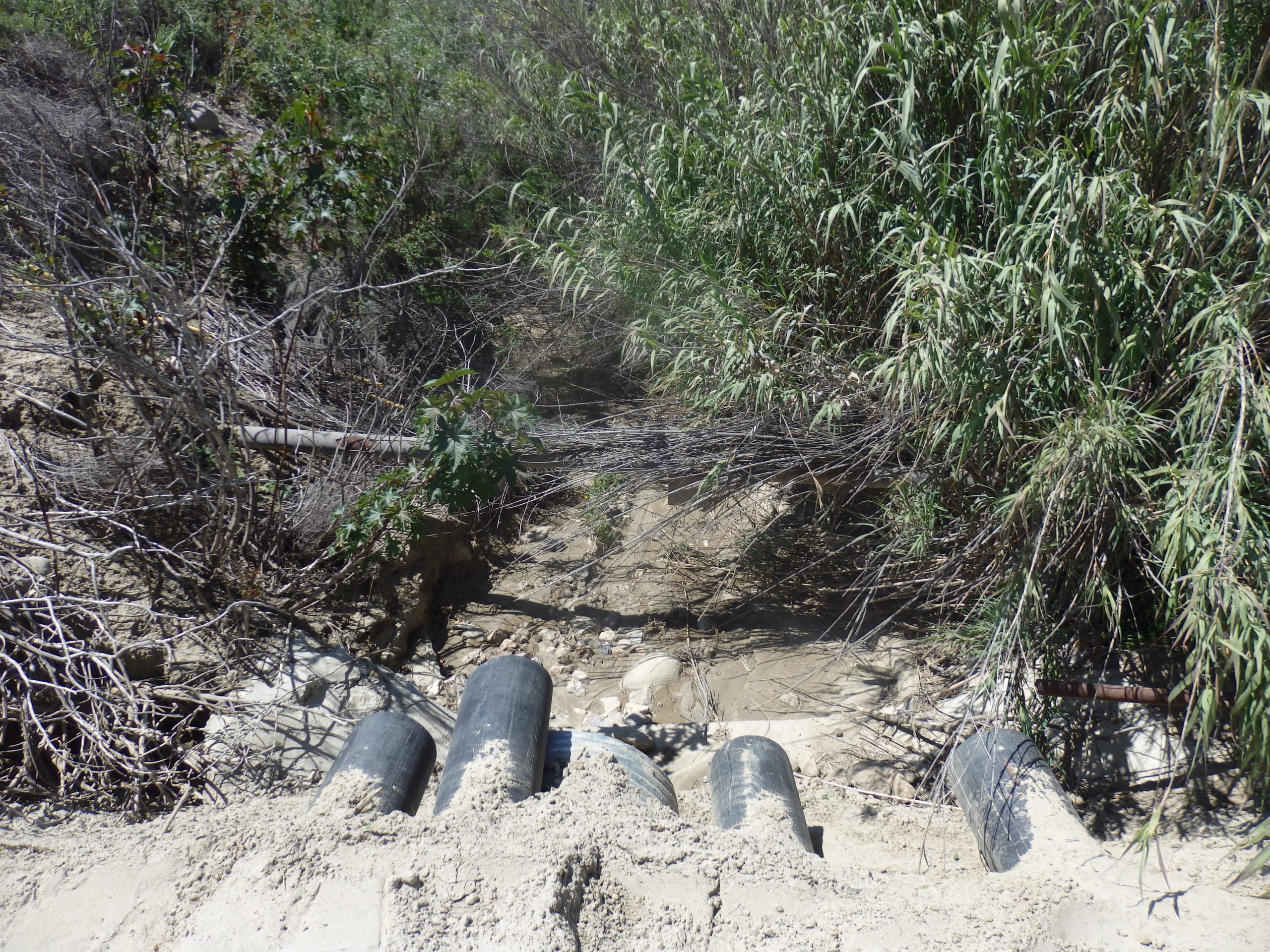
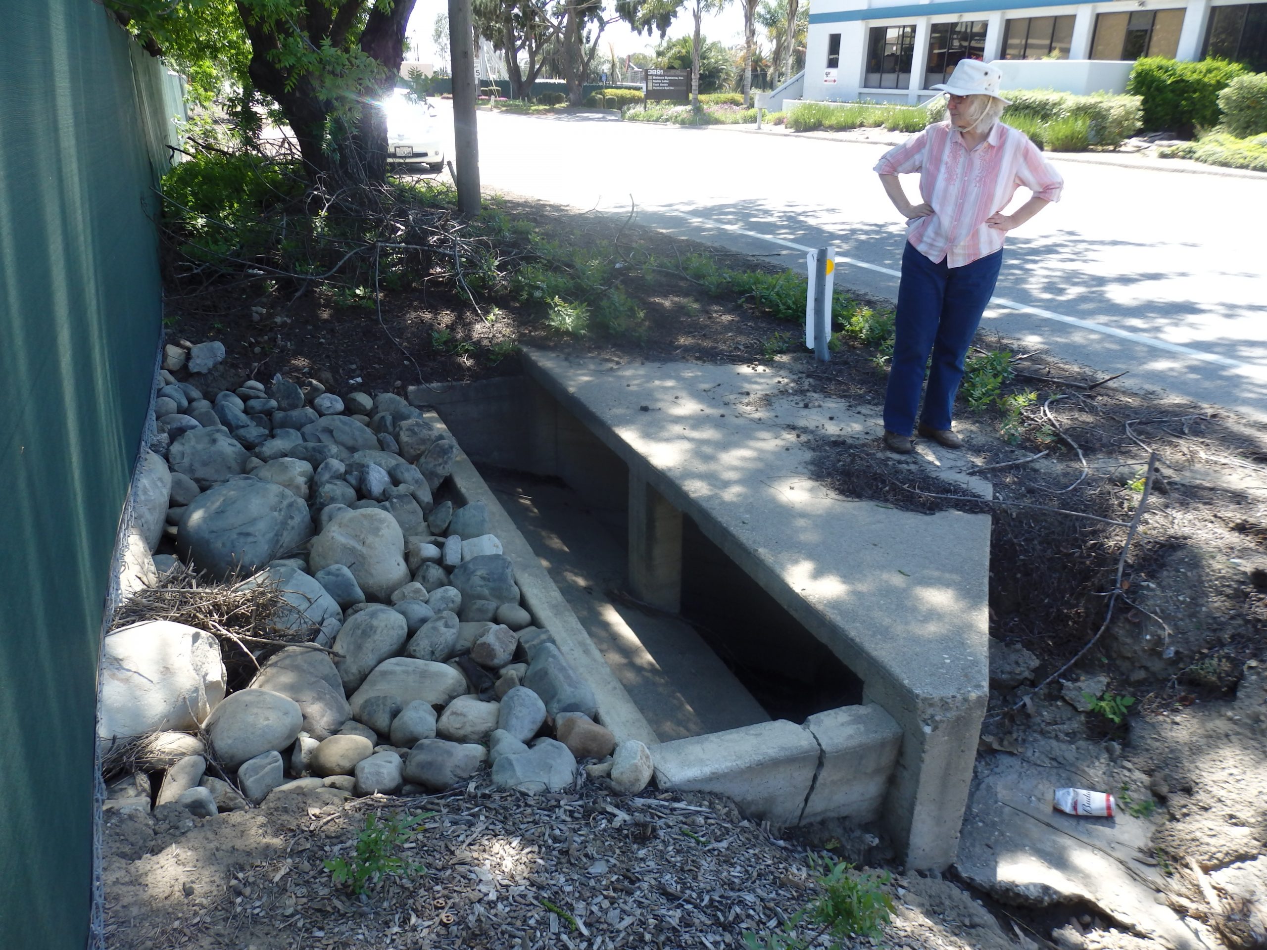
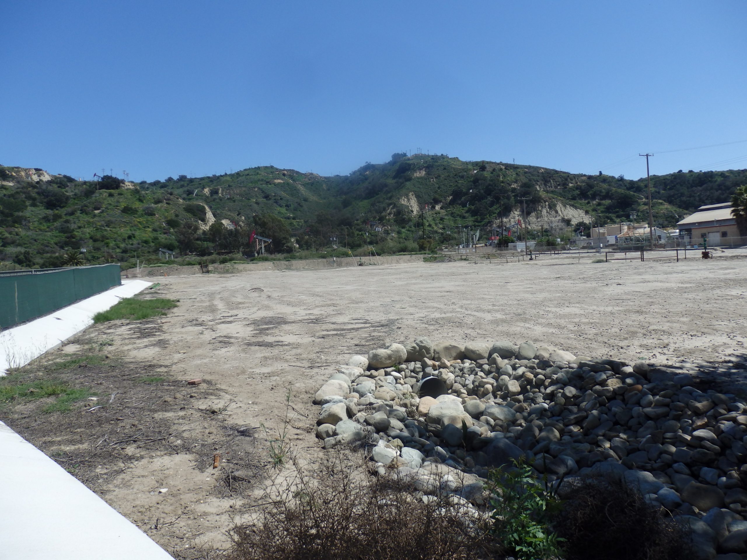
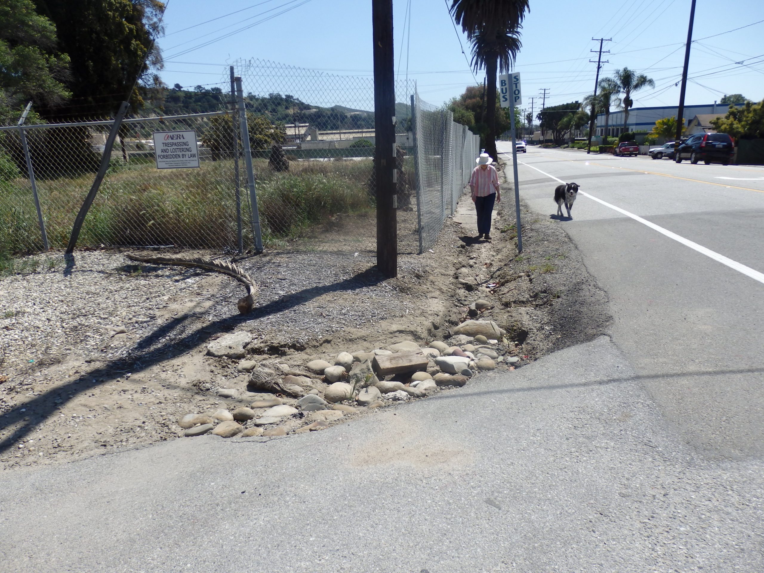
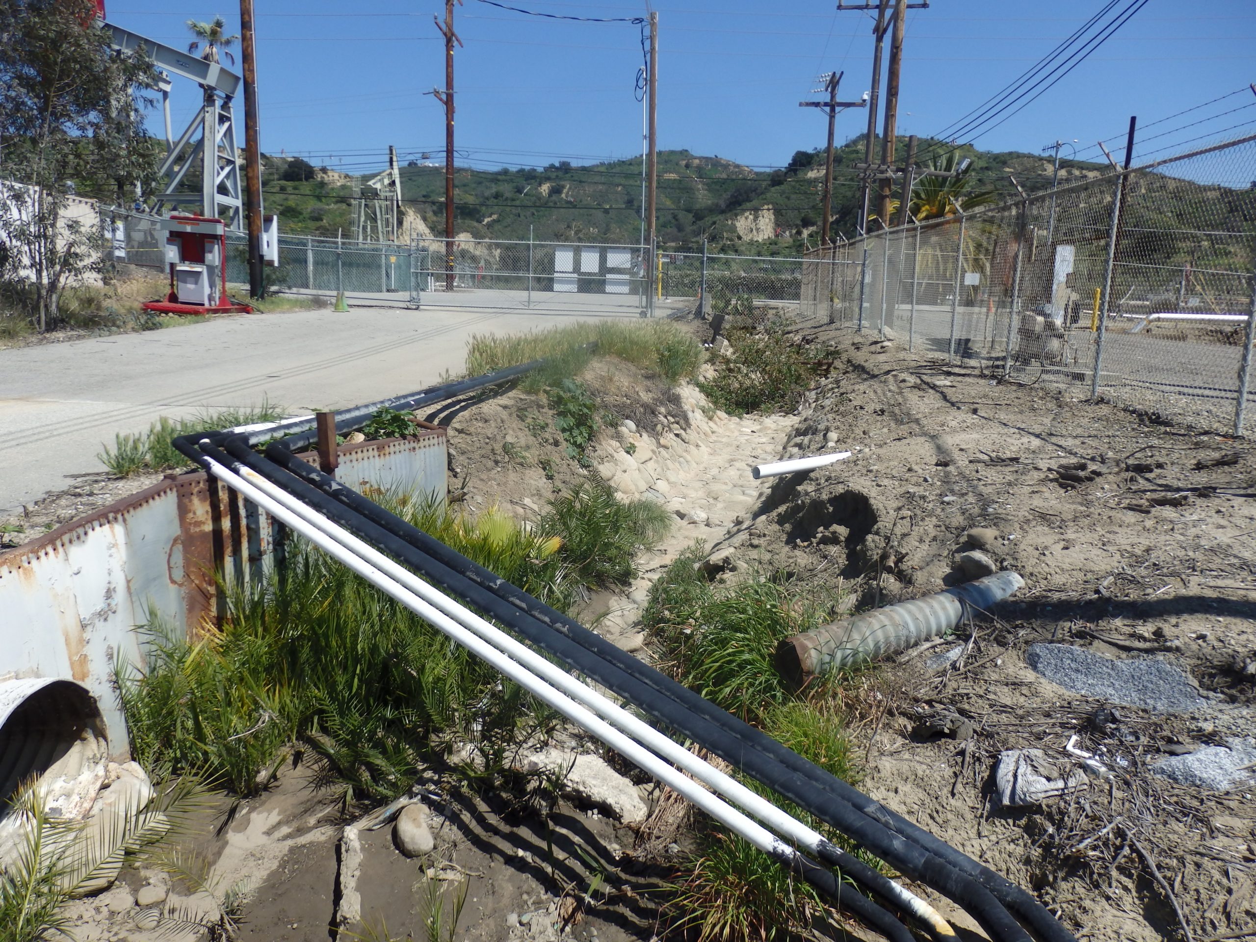
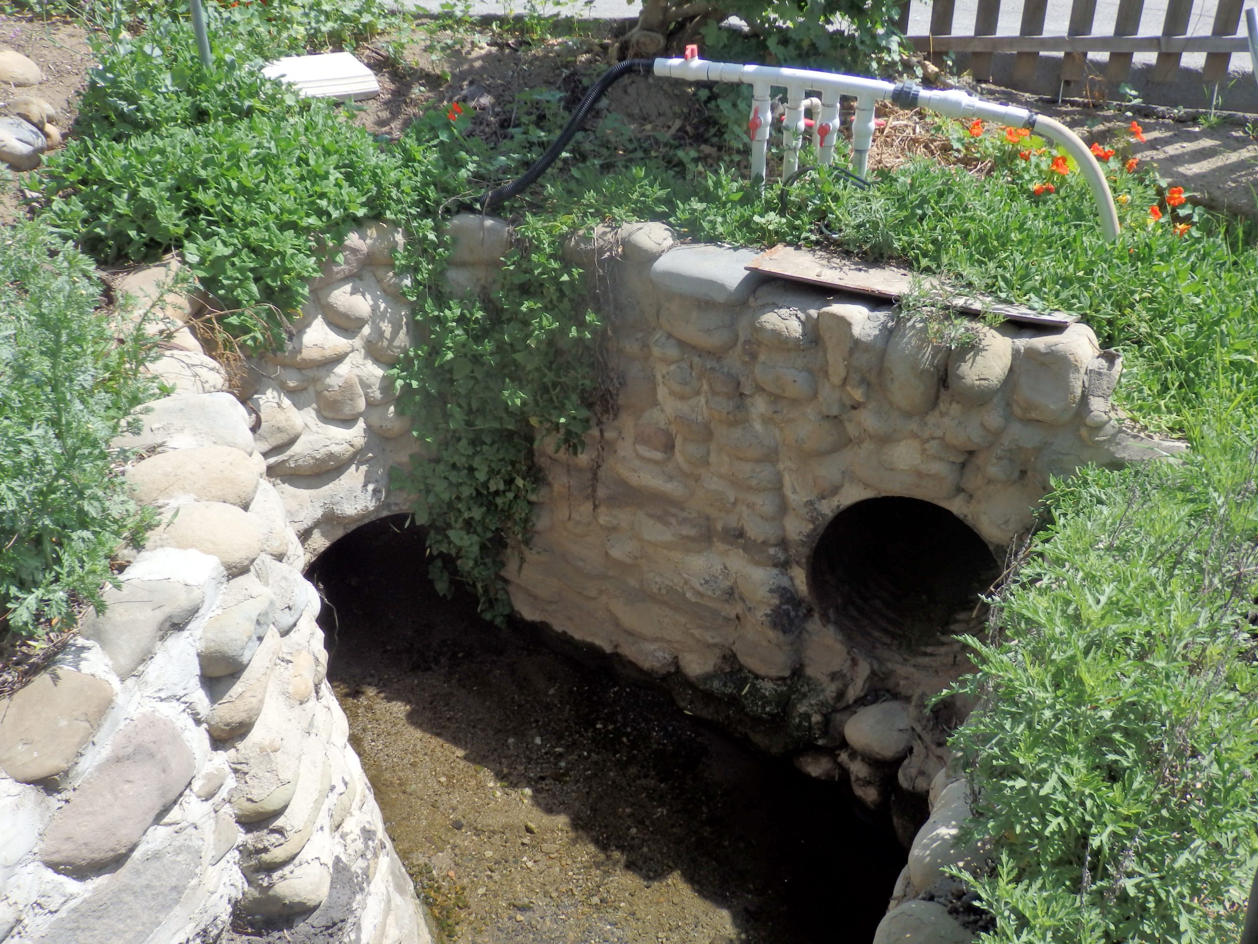
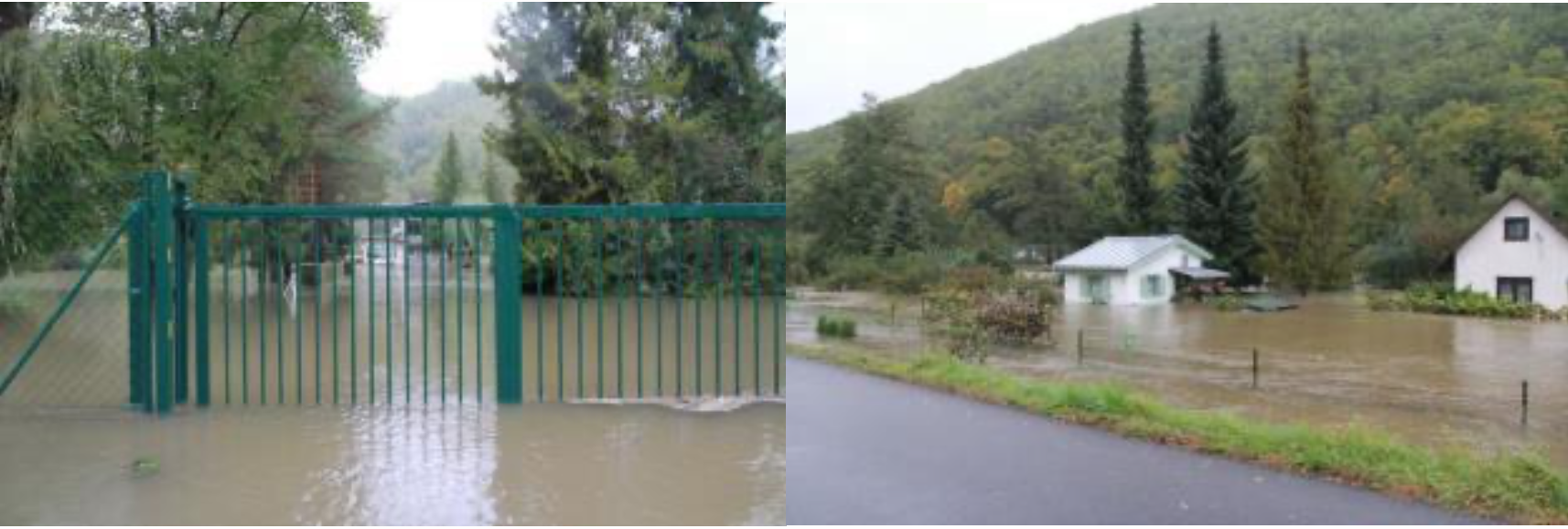
The model’s left side talks about applying sectoral principles in rainwater management in the forest, agricultural and urban landscapes.  With the sectoral focus, rain is a nuisance that needs to be eliminated quickly, and individual industry sectors design their infrastructure for drainage.

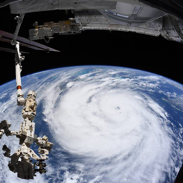
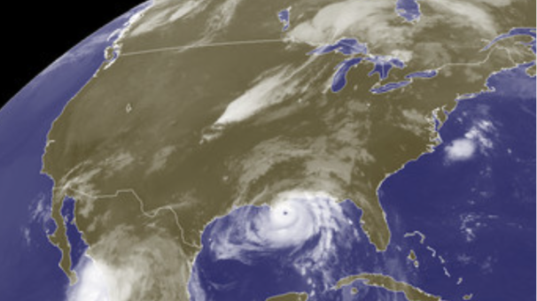
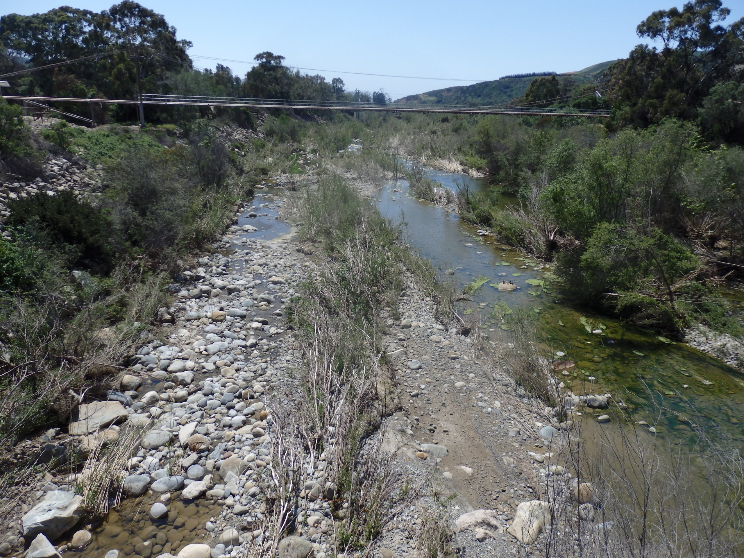
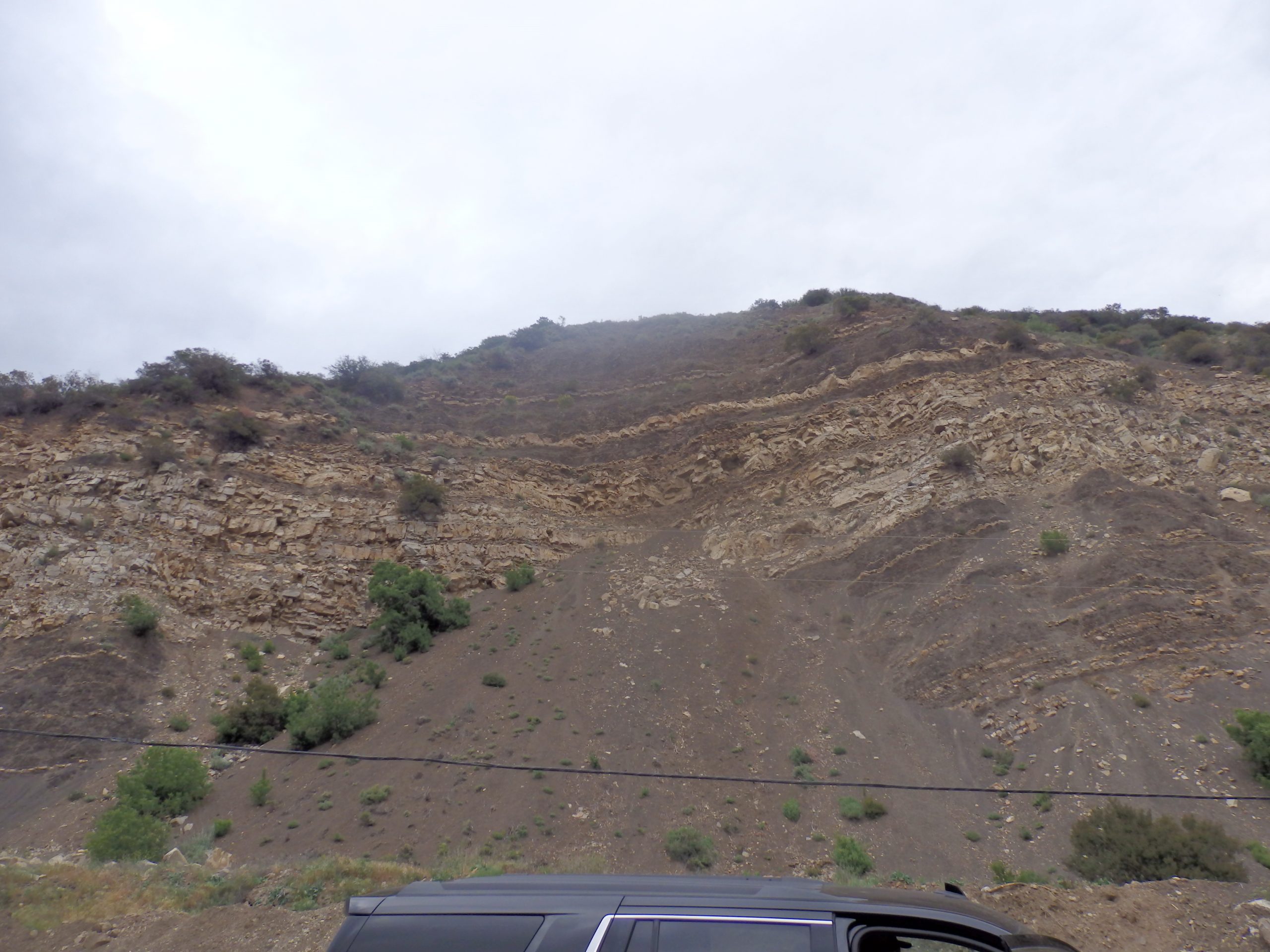
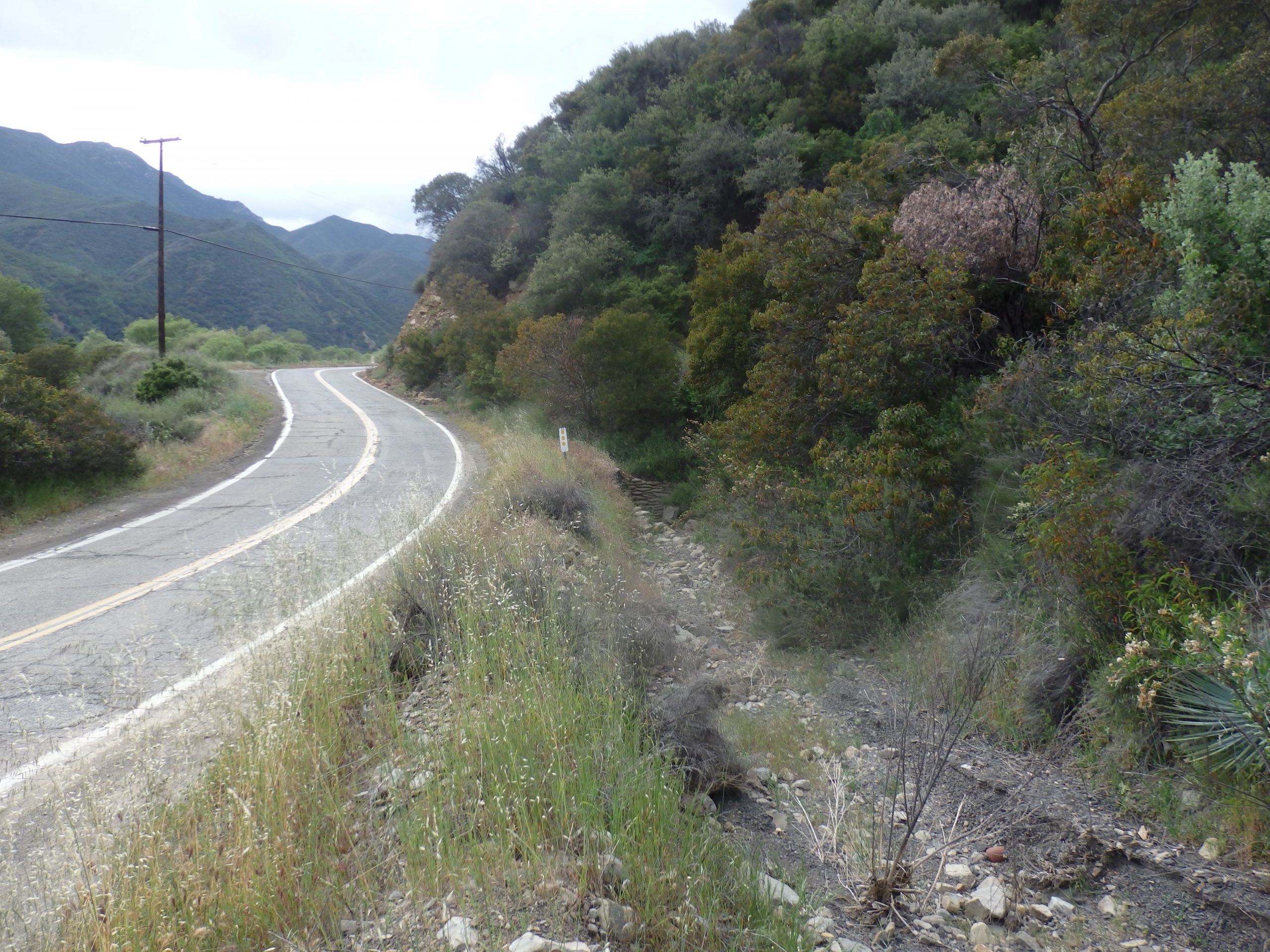
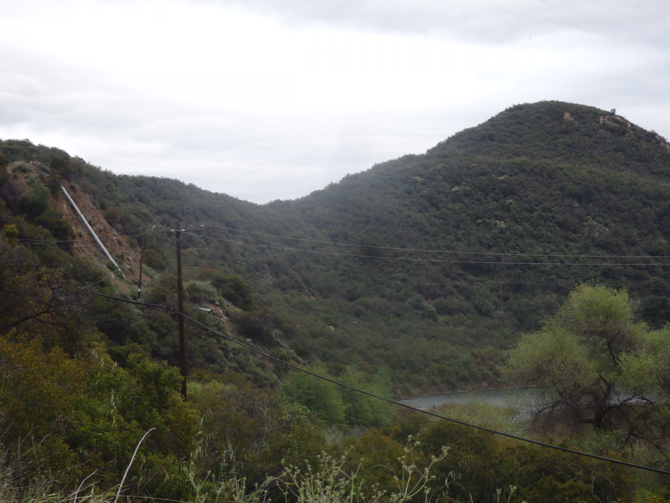
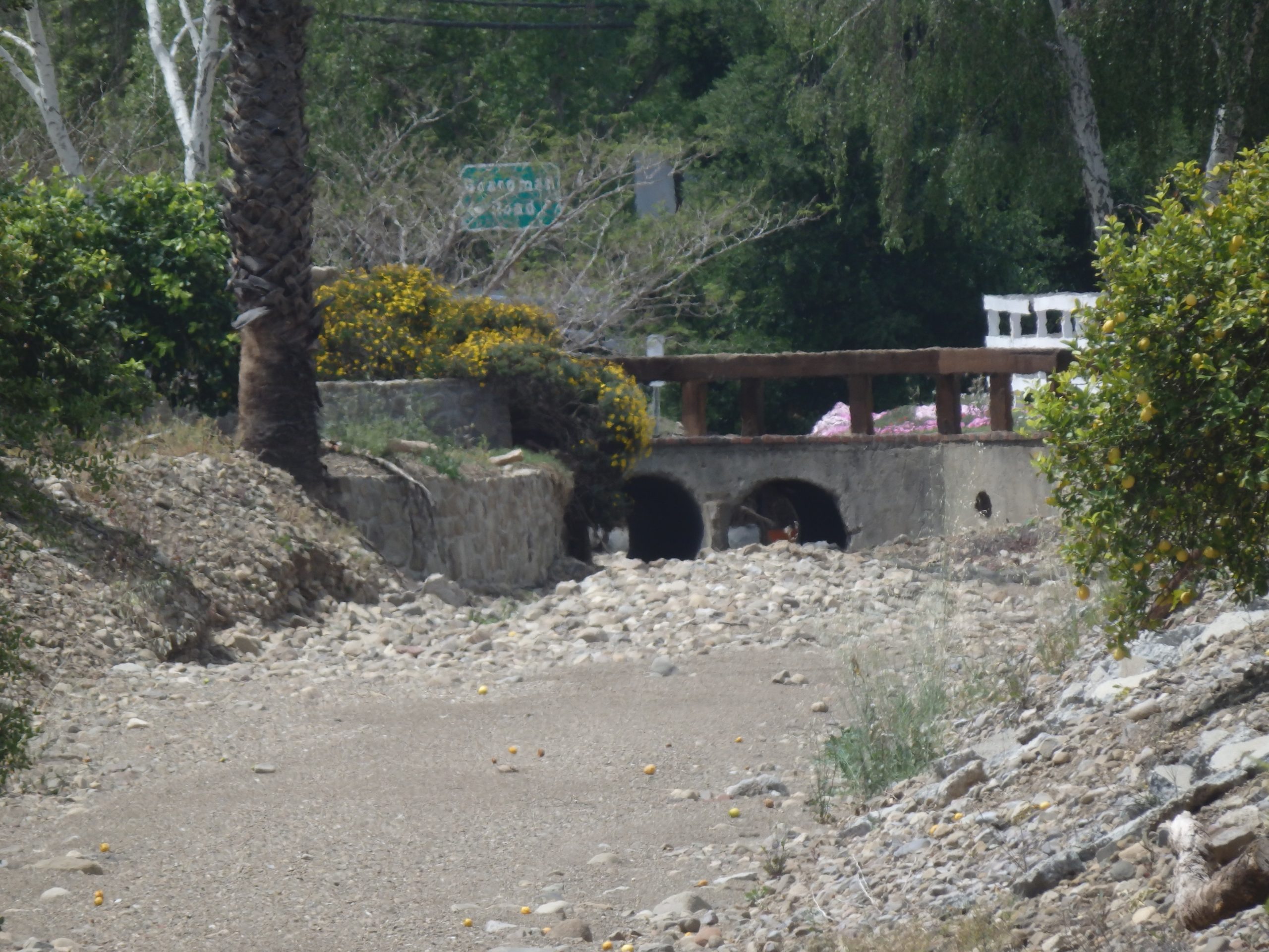
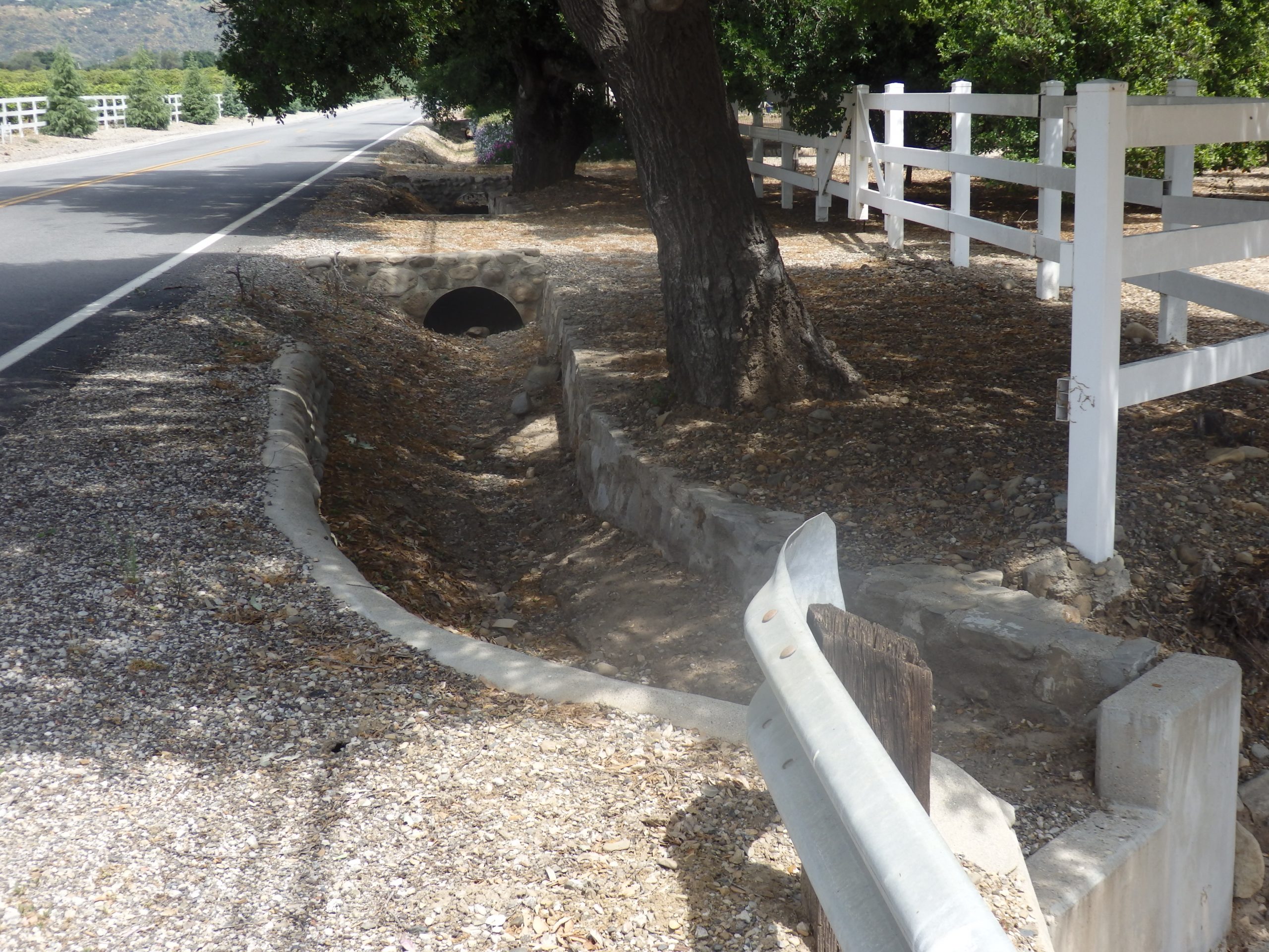
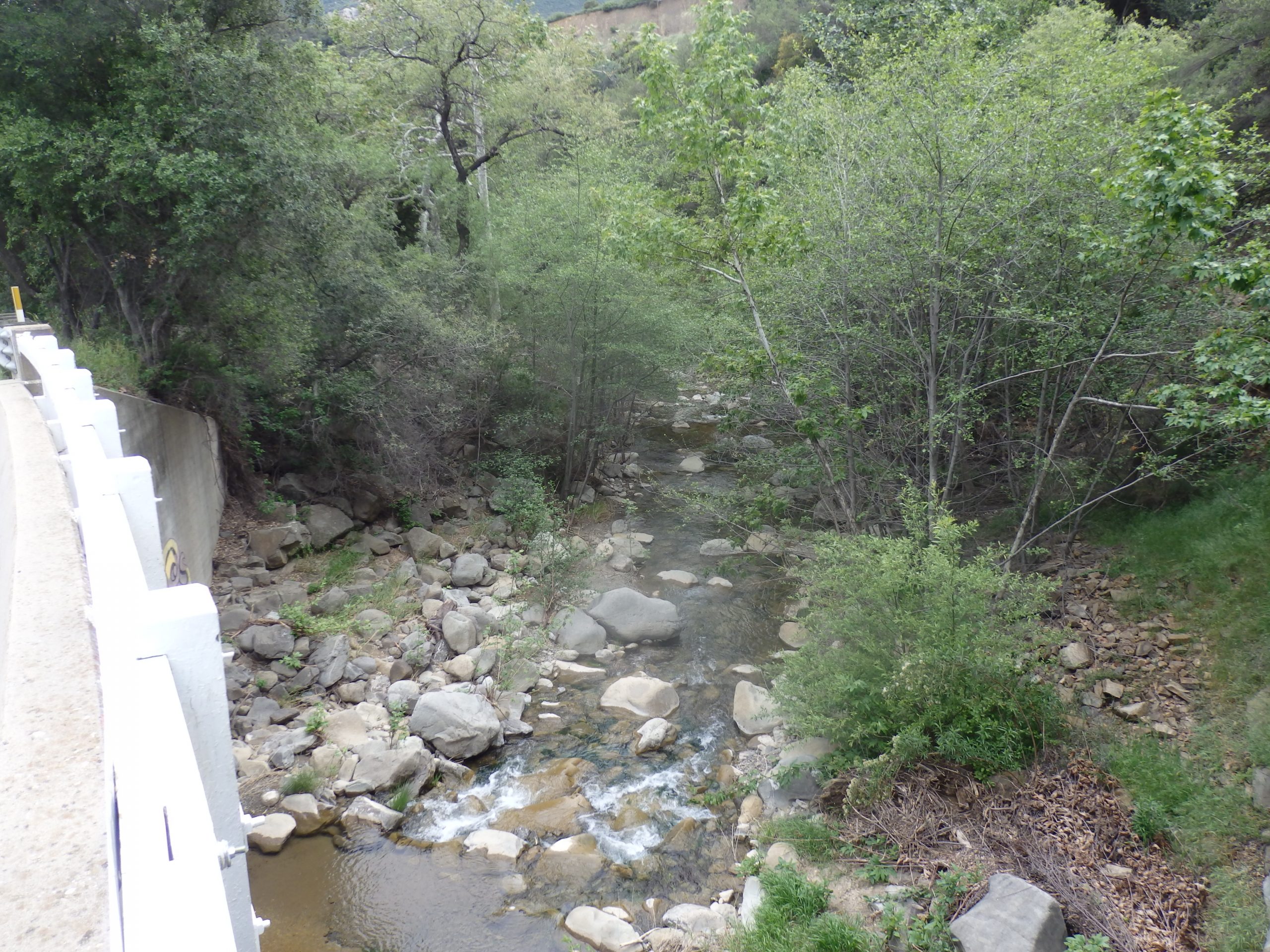
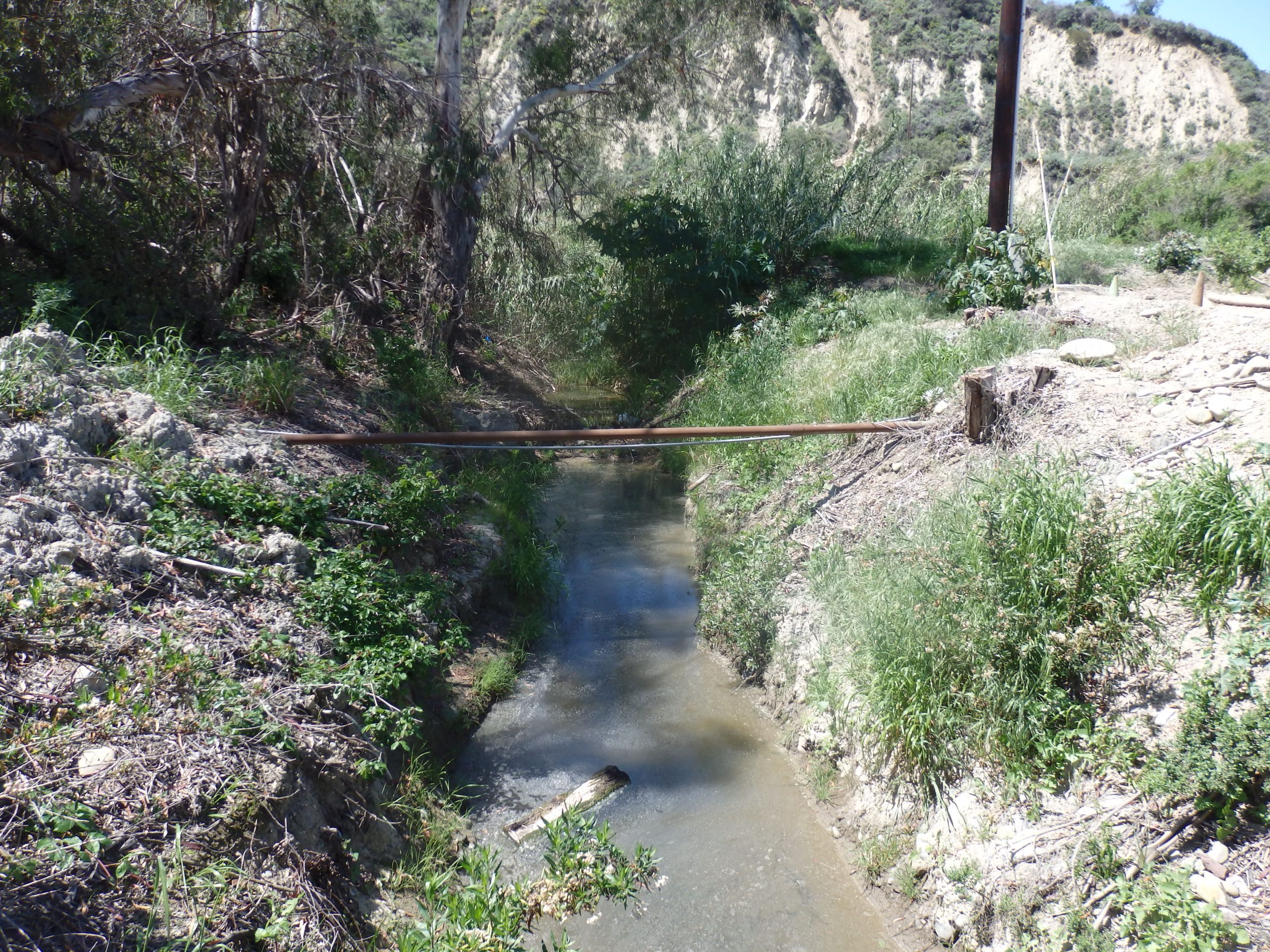
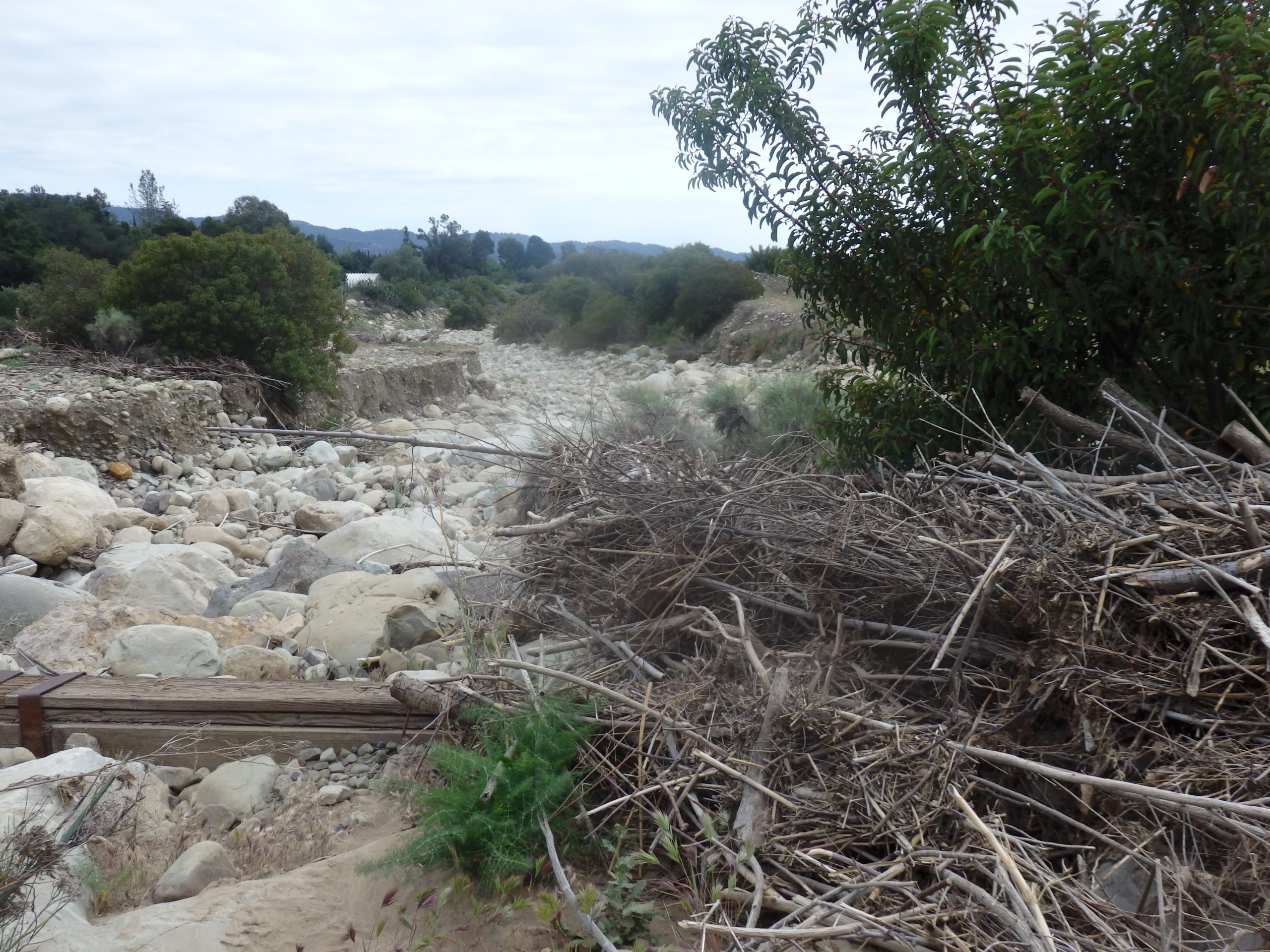
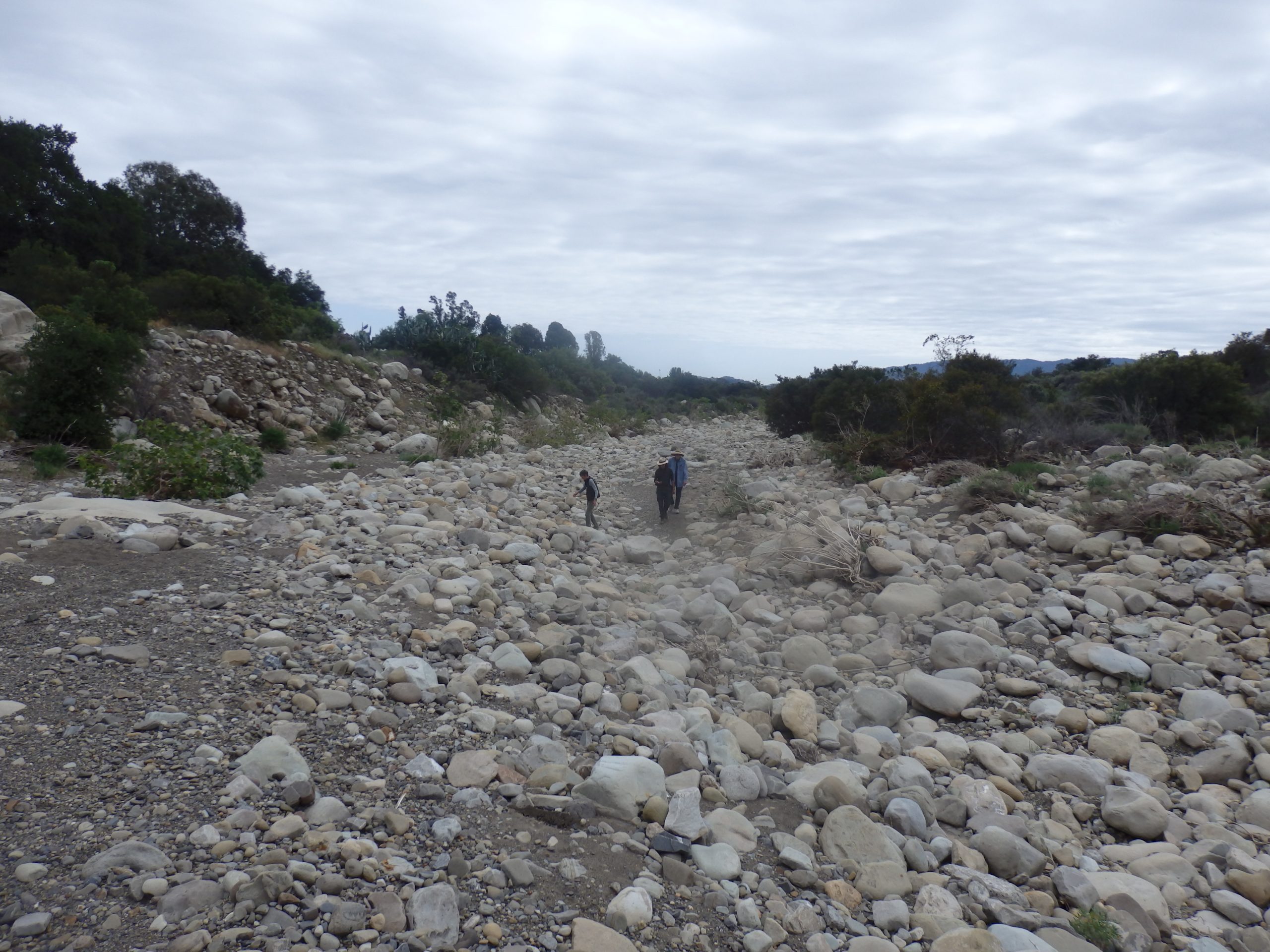
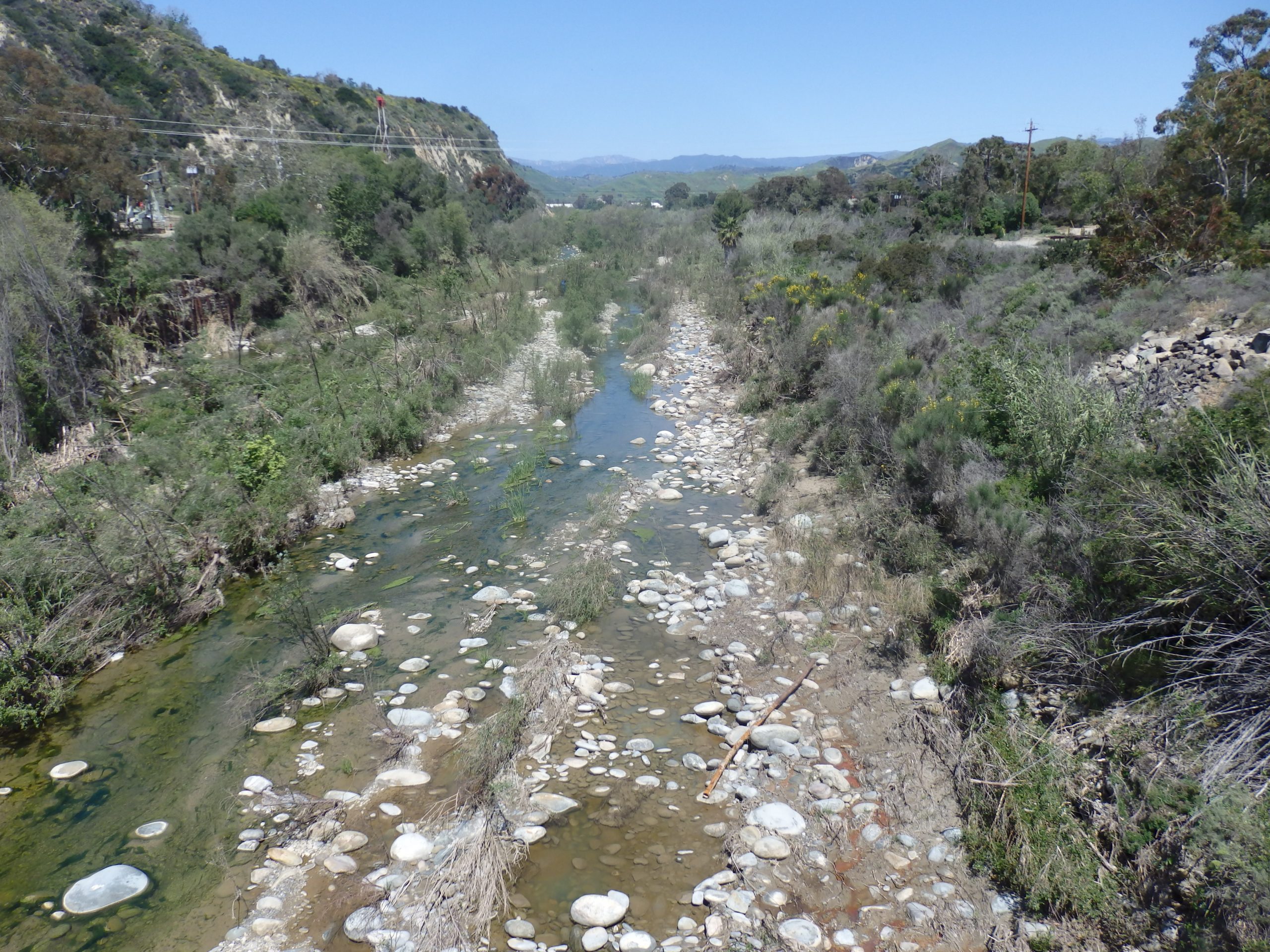
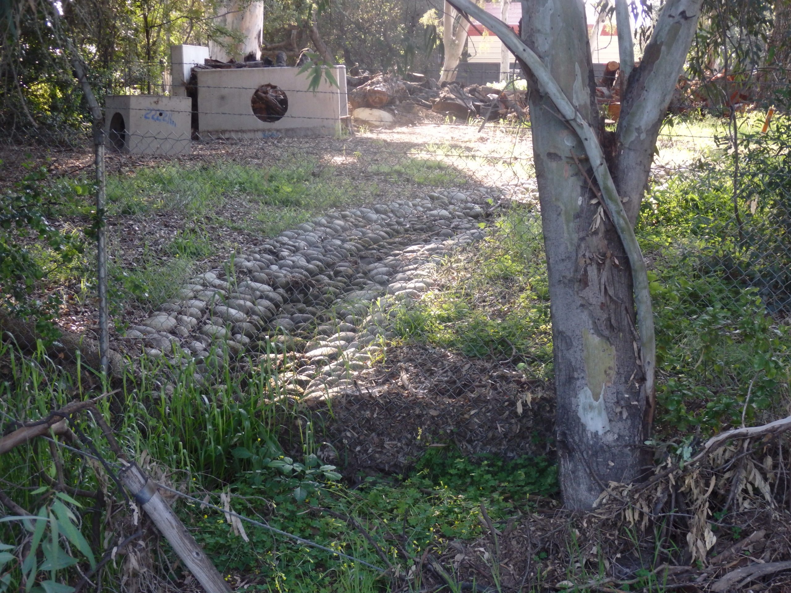
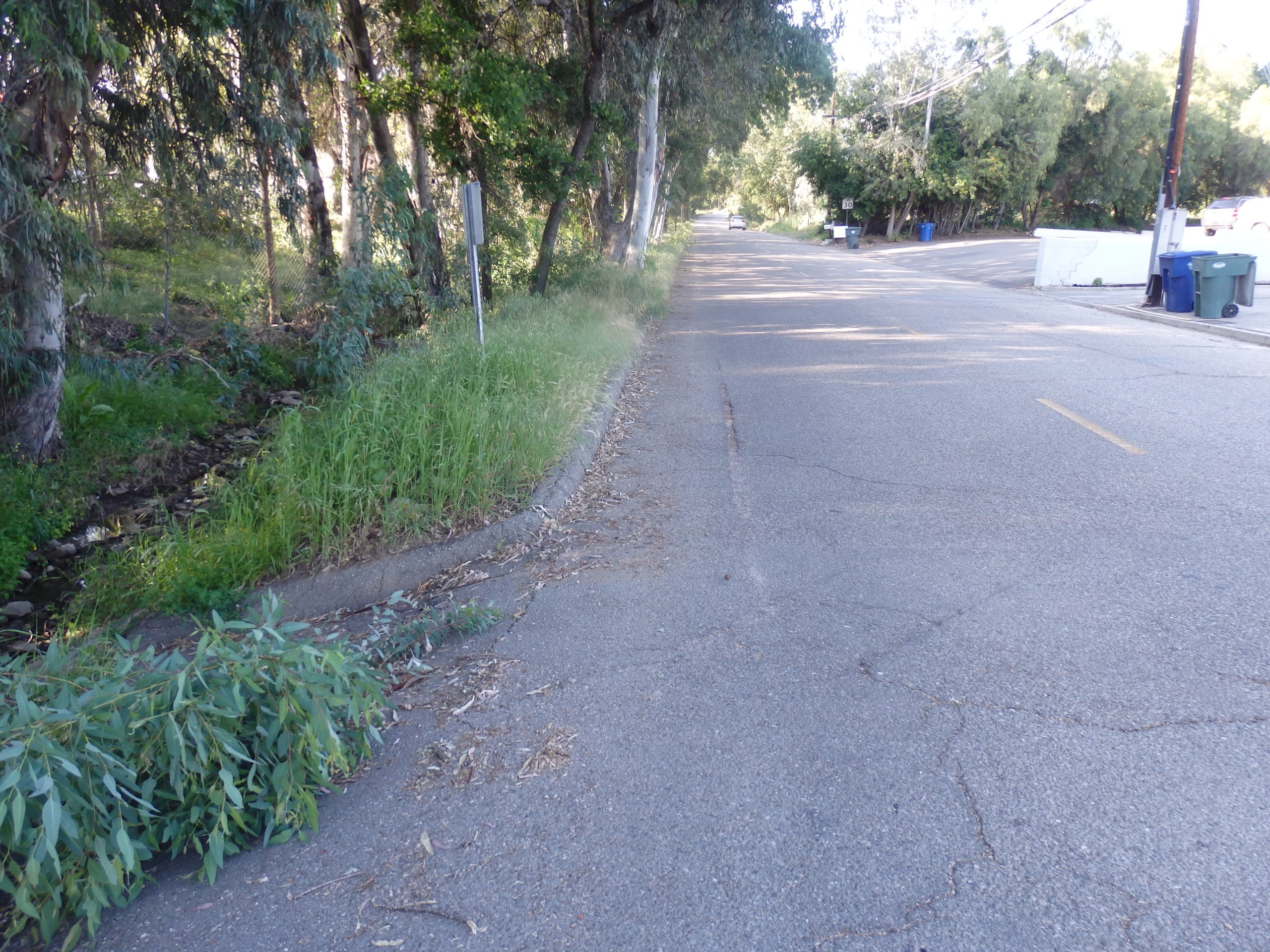
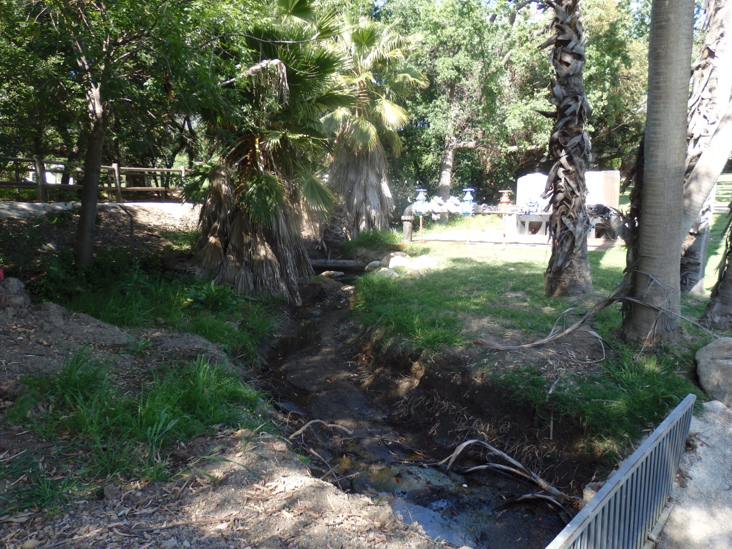
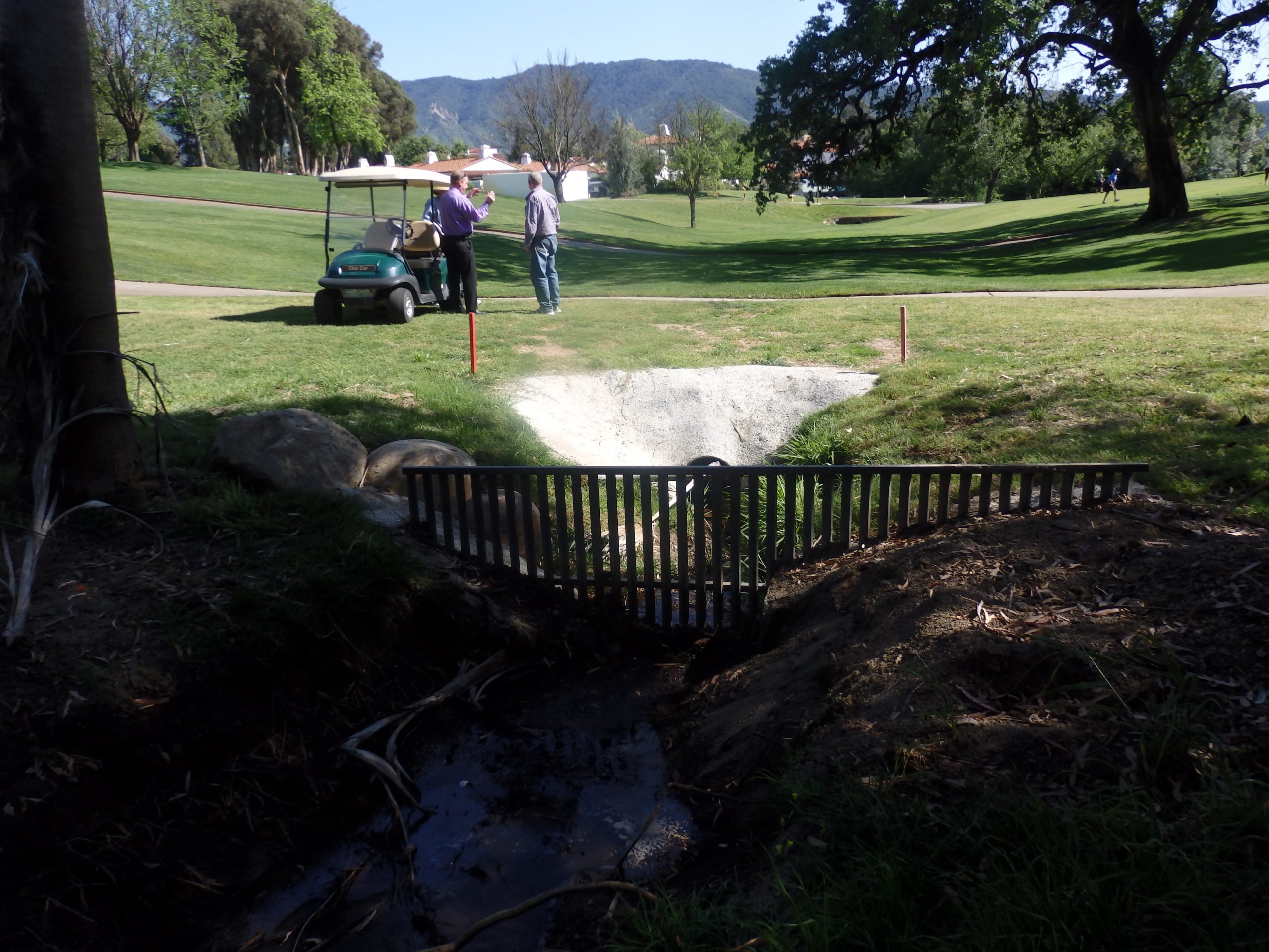
The rainwater management designed for drainage causes reduced evaporation from ecosystems, overheating the countries with the accumulation of CO2 in the atmosphere and the permanent water stress for people, nature, food supplies, and climate.

This model brings economic, social, environmental, and climate collapse in the long run. The old water paradigm has dominated since the Industrial Revolution, and it is no longer sustainable as it degraded the landscapes and watersheds,  thus altering hydrology.  We need to apply integrated rainwater land and watershed solutions.

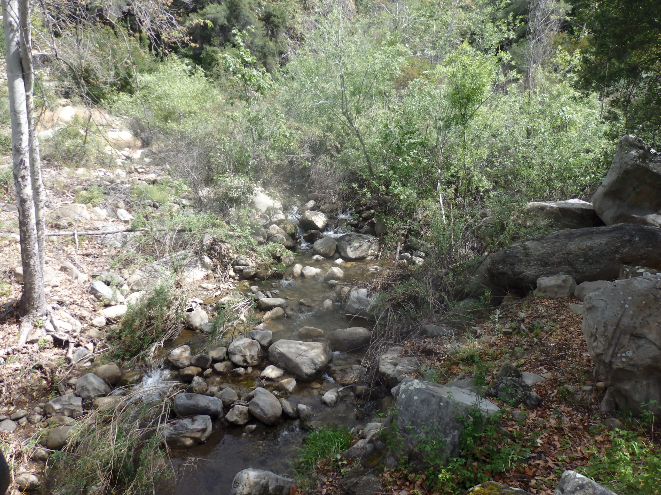
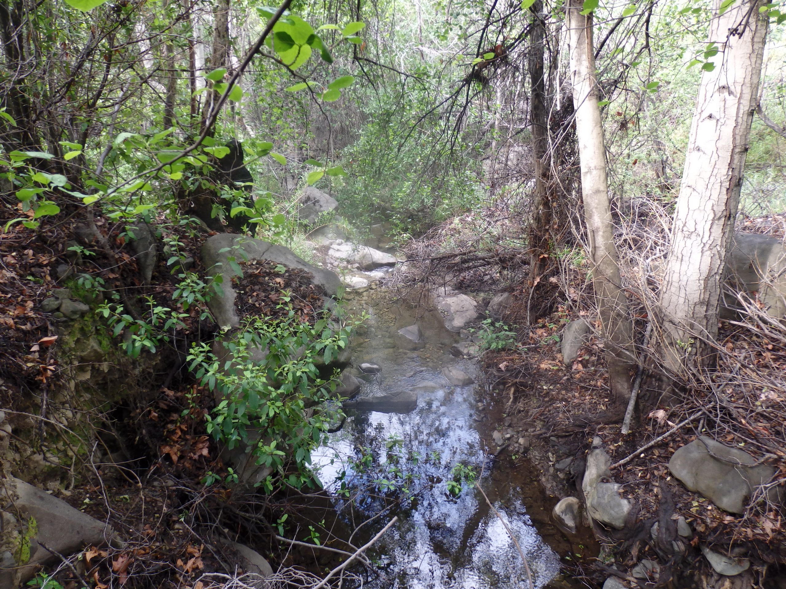
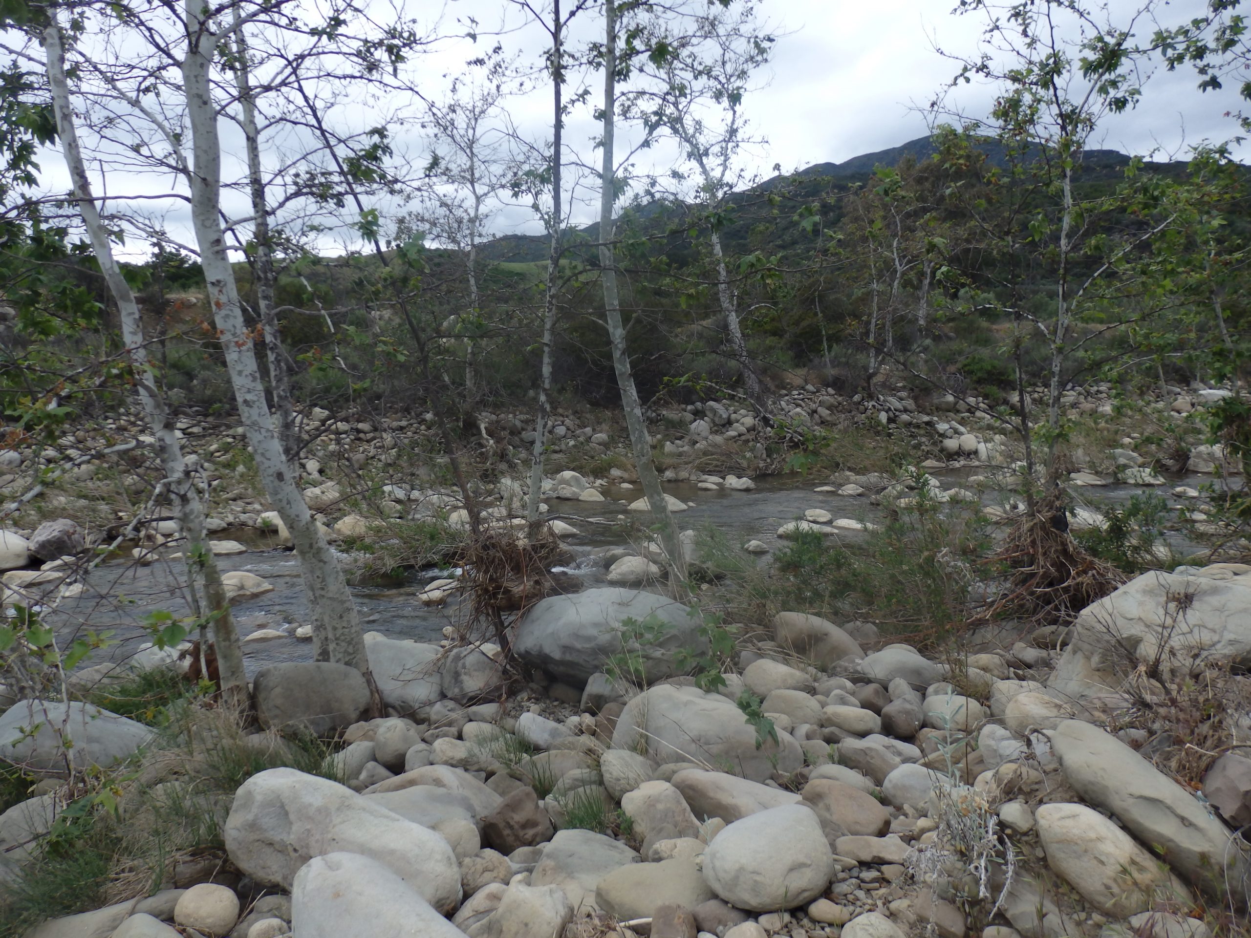
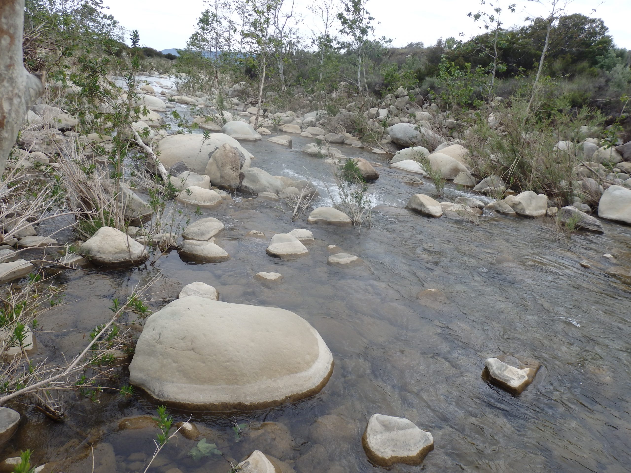
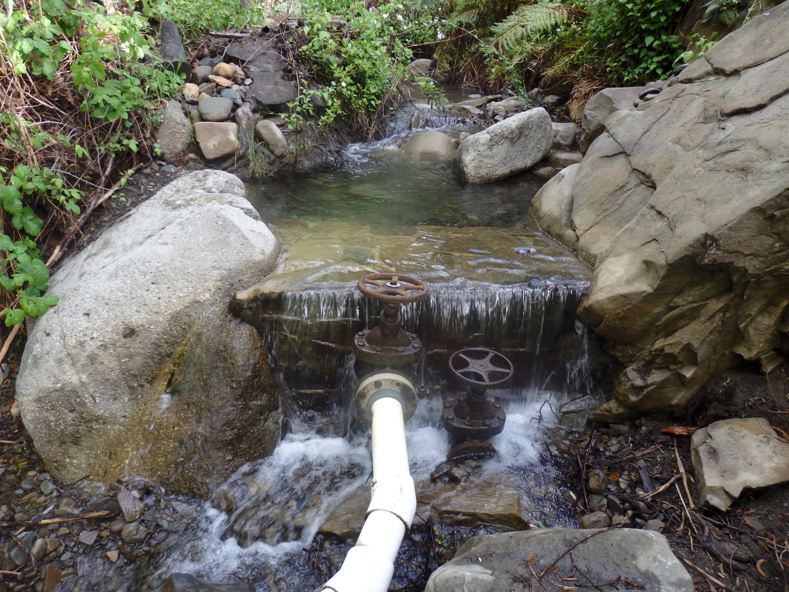
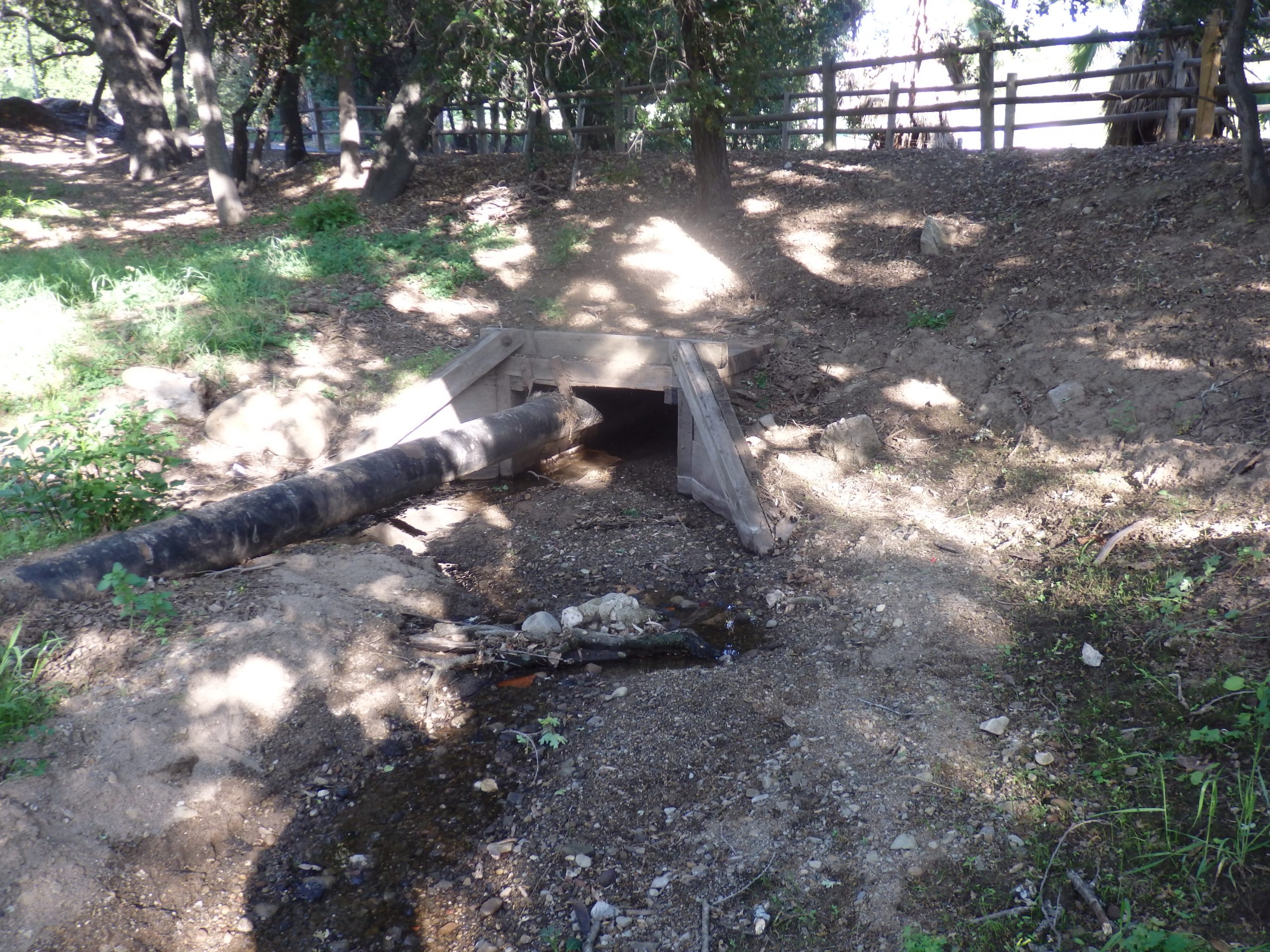
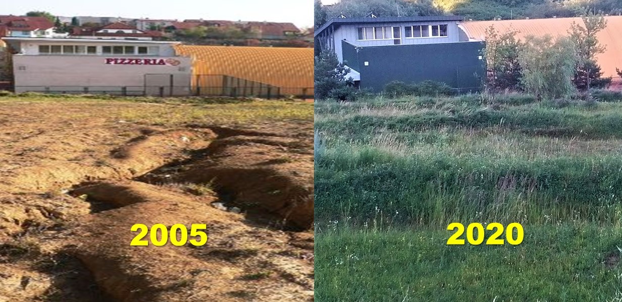
By applying a holistic, i.e., an integrated model of rainwater management, people understand that rain embodies the essence of the life that we need to keep in the forest, agriculture, and urban areas to reduce rainwater runoff from ecosystems.

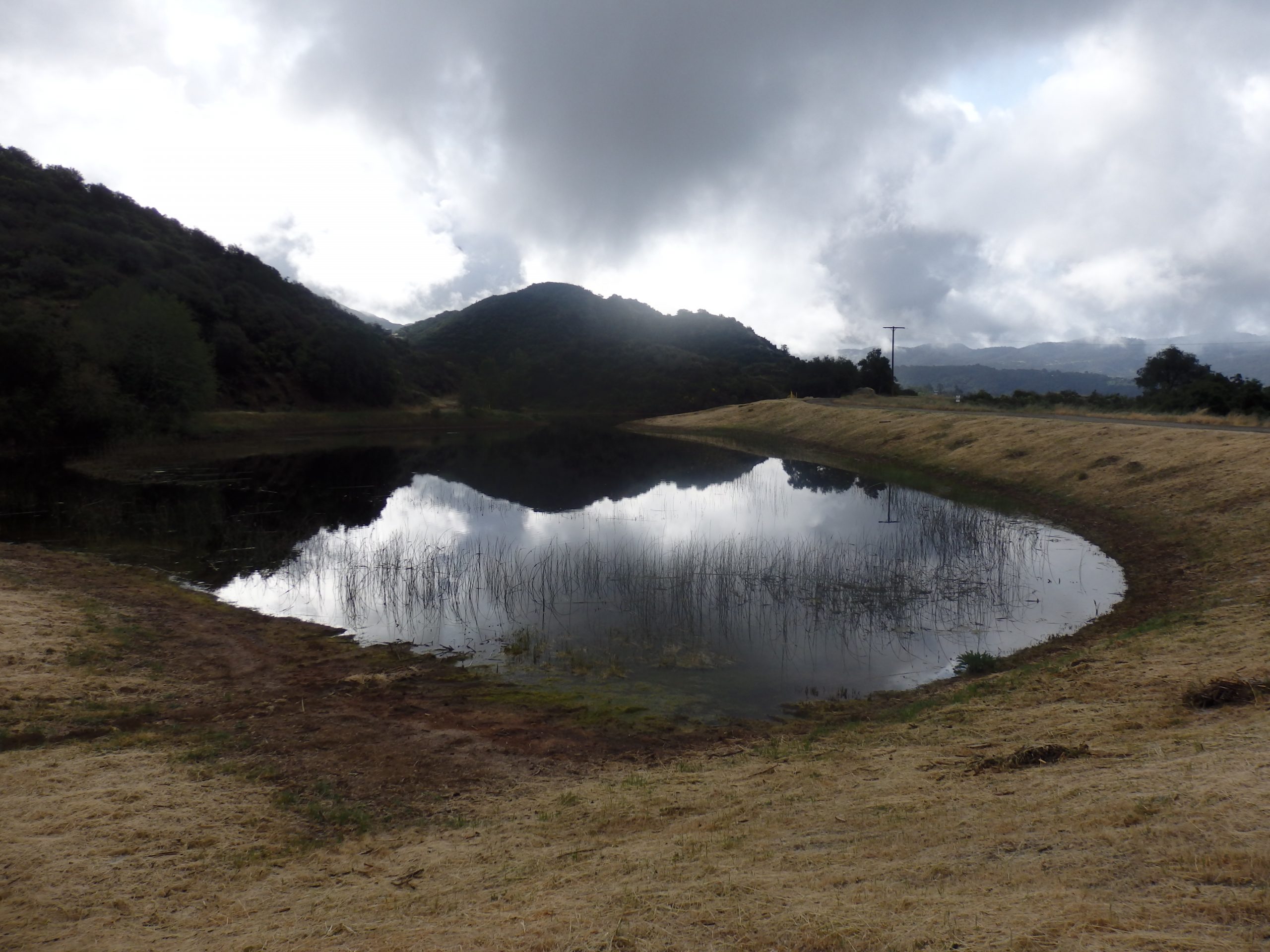
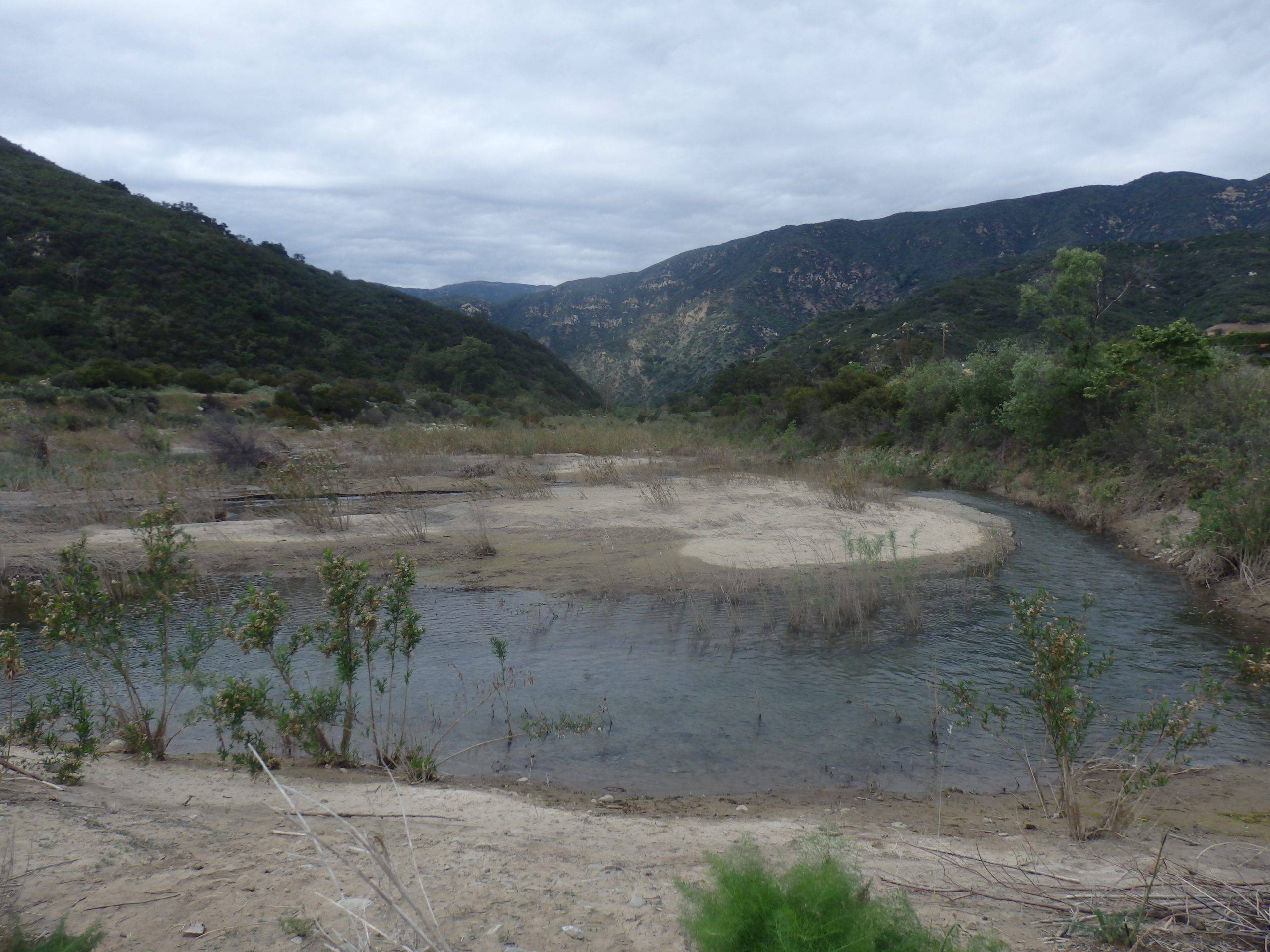
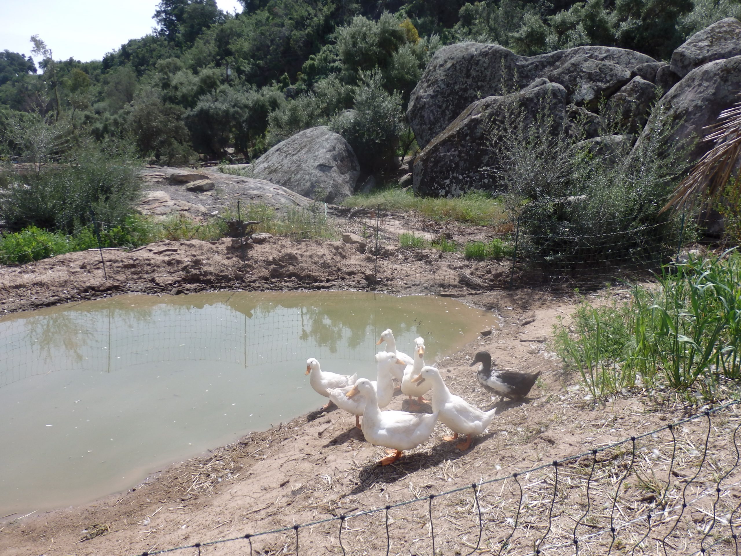
The new water paradigm will result in an abundance of water for people, nature, food, the economy, and a healthy climate.  There are significant additional benefits to retaining rainwater in the ecosystems: the occurrence of more frequent moderate rains, fewer extremes in the weather, reduced overheating of the landscape, abundance of photosynthesis, plenty of food for all, fertile farmland with a gradual reduction of CO2 in the atmosphere and satisfaction for all.

All these contexts should be urgently reflected in research, which unfortunately lags in the field of water and climate knowledge.  Unfortunately, changes in the water, carbon, and climate cycles are faster than science can reflect.  It is time to act.

My conclusions are based on my 30 years of experience in hydrology and groundwater supply recharge. This is my modest contribution to a debate involving the mutual context of changes in the water, carbon, and climate cycles.


Author:             Michal Kravčík

Translation:      Zuzana Mulkerin

HURRICANE IDA

HURRICANE IDA

Hurricane Ida Comes on the Heel of the Massive Heat Dome in the Central U.S.

Hurricane IDA made landfall on the Louisiana coast. The Governor of Louisiana announced yesterday that IDA would be one of the strongest hurricanes in the last 70 years. Now, note the satellite map of the USA. Except for an elongated cloud inland roughly above the area of Kansas, the entire U.S. is entirely cloud-free. There is massive Ida. Other than that,  thin layers of clouds bring just a few millimeters of precipitation elsewhere.


Hurricane IDA

photo: NASA

The central U.S. states undergo increasing water scarcity, depleted groundwater levels, and a lack of soil moisture. These areas are very dry, and the fertility of soils in these areas is lower precisely due to a lack of water. This area needs to conserve more water. At the same time, we need to reduce rainfall where it rains a lot. The question is whether this can be realistically achieved?

We can explain this with the example of the current hurricane, which is currently threatening Louisiana. The Louisiana coast is attacked by a concentrated atmospheric “propeller” in the center of which the forecasting models predict rainfall 16-20 inches (400-500 mm). This deluge will bring billions of dollars in damage to both private and public property.Every year, American hurricanes are becoming more and more dangerous, and atmospheric scientists know that global warming ramps up the amount of precipitation from these storms. Hurricanes are becoming more deadly, The question is, what is causing the climate change, and can we find more culprits other than the unfortunate CO2? If we understand the cause of this phenomenon, we can find a solution.

There is an explanation! It is time to look at the correlation between the Atlantic hurricane season and the recent heat dome over the U.S. interior. NOAA describes a heat dome as a situation when a mass of hot air gets trapped under an atmospheric layer of high pressure and accumulates the heat like a domed pot lid. Like all previous hurricanes, hurricane Ida has grown against the backdrop of a vast heat island or heat dome, producing sensible heat and high air pressure in the U.S. interior, which will not allow moist air masses further inland. Therefore, the hurricanes spill all the moisture on the coast and, with their abundance, cause extreme flooding and bring extensive damages. 


I dare to say that if the U.S. interior states conserve water and retaine water throughout the year, the land would produce more latent heat and less sensible heat. Then, frontal low-pressure systems from the Atlantic would spill at least TEN times over a larger area than they are now. In the case of Hurricane IDA, precipitation would be barely 50 mm. We need more soil moisture and evapotranspiration in the U.S. interior ecosphere if we want weaker and less dangerous hurricanes. That would translate to more minor economic damages and a resilient landscape with resilient crop harvest.


It is not a utopia. It is possible to achieve the formation of clouds with less intensity over a larger area of their development if we understand that we can fix the hydrological cycles over land that we broke. Since NASA launched their Soil Moisture Active Passive (SMAP) satellite in 2014, scientists began to measure the global data on water balance and soil moisture. Precipitation is the best observed hydrologic variable, but precipitation alone cannot adequately characterize a drought. Data show that the land and watershed alterations in the Central U.S. states induced changes in the agro-hydrologic measurements, such as lower evapotranspiration rates, the aridity of the soil, and the increase in the land surface temperatures. My colleagues and I published the New Water Paradigm for the recovery of climate in 2007 and described the small water cycles and evapotranspiration. If people understand that damaged and dry landscapes affect the formation of clouds over a small area and cause flash floods and deluges, we can have a roadmap for recovery. All we have to do is restore, i.e., revitalize the damaged landscape to absorb more rainwater. Then we will live in a more resilient and safer environment. To learn more, visit our restoration methods in Handbook of Climate Change Management. 


Author: © Michal Kravčík

Translation: Zuzana Mulkerin

Photo: NASA

VENTURA RIVER WATERSHED INITIATIVE

VENTURA RIVER WATERSHED INITIATIVE

VENTURA RIVER WATERSHED INITIATIVE

Water Management Program for the Ventura River Watershed

Dietrick Institute for Applied Insect Ecology California & People and Water, Slovakia Michal Kravčík, Jan Dietrick, Brett Levin, Russ Speer, Danka Kravčíková, Peter Bujňák

Current Status of the Ventura River Watershed

The Ventura River Watershed has typical mountainous dry weather and suffers from water scarcity and frequent flooding. The average annual rainfall is 21.24 inches. The summer half of the year has extremely poor precipitation (May – October), when the rainfall total amounts to an average of 1.85 inches, which is only 8.7% of the annual rainfall total. By contrast 46% of the yearly rainfall occurs January to February; these two months suffer the greatest flood risks. The precipitation timing corresponds to the sea climate where the lack of precipitation in the period of the highest temperatures in the area is due to overheating of the Earth’s surface.

The landscape is very dry and damaged by erosion. A large part of the precipitation in the rainy period, estimated at four inches (100 mm), flows from the water basin to the sea without any infiltration, thus reducing the water balance in the area.

Long-term damage to the landscape reduces not only the water supply in the area but also increases the overheating of the landscape, which further reduces the rainfall in the area. Without corrective measures, future extreme floods fluctuating with drought can be expected more often.

We estimate, that from the damaged area of the Ventura River Watershed about four inches of rainwater each year flows to the sea without any use. This is about 47400 ac ft of water in the Ventura watershed, with an area of 226 sq mi. The widespread retention of this volume of rainwater in the Ventura river watershed would greatly enhance the landscape and would reintroduce a small water cycle in the area so that the rainfall is more frequent and gentler throughout the catchment area. Water resources would increase, flood risks would be reduced, biodiversity would be enhanced, economic prosperity would be enhanced, and climate would improve.

If what we term old water paradigm (OWP) management continues there is little opportunity of stopping the decline of the region. The OWP principle of rapid rainwater drainage contributes to a faster drying out of the entire catchment area, leading to greater dependence of the region’s economy on investing in costly water management solutions that ultimately do not eliminate the causes of water scarcity in the area.

Applying the New Water Paradigm (NWP) can not only stop this dangerous trend but can also start healing processes. Some improvements would manifest within one year. It is possible to completely revitalize the valley in a relatively short period of time (10 years) in order to regenerate rain and restore water resources in the area, while mitigating flood and drought risks. It is realistic to expect softer rain so that vegetation regeneration, water resources, biodiversity and mitigation of weather variations will multiply.

What Needs to Change

Current rainwater management in the area is based on the assumption that rain water is an inconvenience we need to get rid of as quickly as possible. We need to manage rainwater as a precious resource that supports life processes in ecosystems. Only then can we expect sustainable prosperity and permanent restoration of natural resources.

The current state of damage to the landscape in the Ventura River Watershed

Partially wooded slopes of the catchment area.

In rocky gullies intense precipitation brings rapid drainage of rainwater and soil erosion. Chronic drought and soil degradation limit the growth of vegetation.

To protect roads, drainage pits channel rainwater to the nearest stream.

To reduce the erosion risk of  rainwater which flows off roads,  rainwater is often collected into  pipelines and transported to  locations downslope.

  1. Management of rainwater in the agricultural landscape

Farms growing citrus fruits on farms partially depend on irrigation from rainwater obtained from the adjacent mountain slopes during heavy downpours. The orchards depend most heavily on water pumped from aquifers. 

Erosive activity confirms that changes in water management are needed.

Erosive activity confirms that changes in water management are needed.

Dimensions of water passage channels confirm that significant flows occur. The water available from rainwater harvesting can significantly contribute to the stabilization of agricultural water supplies by changing to the principles of the New Water Paradigm.

  1. The Ventura River and Its Tributaries

Damage to waterway inflows into the Ventura River confirms that there are significant erosive processes occuring

In riverbeds with transport of material through the  Ventura River Waterheds

Part of the trough-forming processes is the transport of biomass from undercut slopes of shorelines.

As early as April, the troughs are often empty and dry out during the summer.

The kinetic energy of floodwaters in the Ventura River presents great risks for beach erosion. Water in the troughs rapidly run off until the riverbed is dry again.

  • Water Resources

The acquisition of water resources in the basin is historically oriented to mountain areas. For example, in 1929, a water source was created by digging a 300-meter tunnel into a mountain. Water seeps through layers of rock and is collected and transported for community needs.

Also, infrastructure was created to drain water from creeks into piping systems and then be piped into the valley for community needs.

Small water tanks were built for irrigation needs.

There were also dams built in the area.

Lack of water forced small farmers to develop small water reservoirs, from which water is used for irrigating crops.

In urban zones, water management is focused on channeling rainwater into drainage collectors and then to the nearest stream.  

Extensive impermeable surfaces such as roads, parking lots and roofed surfaces increase the risk of flooding in downstream locations.

Non-systematic, fragmented and often provisional solutions to the management of water increase the risk of flooding.


  • Golf Course

The sources of flash floods on a golf course can be found in the rainwater management practices of urbanized areas in and around the golf course.

Management of rainwater within the grounds of this golf course is oriented towards the fastest runoff of rainwater during precipitation.

Water management in the area is strongly characterized by the various combinations of shapes, types and sizes of pipes as seen below the overpass. 

  1. Rainwater Management in Suburban Zones

The Old Water Paradigm prevails in the area – rainwater is collected and transported to the ocean.

In the area, numerous provisional solutions exist, whose purpose is to sluice off rainwater and transport it into the nearest stream.

If a natural water drainage system doesn’t exist, an artificial one is created.

The entire area is drying out and consequently overheating. 

There are many areas of the Ventura River Watershed, which, during times of intense precipitation increase flood risks, while during times of drought, the water basin suffers due to lack of water in the ecosystem, low water levels and frequent drying up of water flows. As a result, biodiversity suffers, especially fish. Additionally, a large number of bridges, especially bridges above human-built water diversion systems brings about the risk of overflow of water causing local floods and subsequent damage to property. In the past, these bridges were built to meet the requirement of the then present hydrological circumstances, a time when the occurrence of intense rainfall and the equally rapid concentration of outflow of rainwater from damaged areas of the basin were still unknown.


Changes to water use in the area carries with it great risk for the future. Ecosystem changes in the water basin and especially urbanization results in four substantial changes:

  1. Rainfall causes intense runoff of rainwater from the water basin, which results in flood waves, which form new current flow processes in the entire river infrastructure of the Ventura River network. During flooding this not only carries away gravel and sediments but also trees which have fallen into the river.
  2. Trees carried off by the flood wave along with other biomass (branches, grass, etc.) and sediments plug up water flows under bridges and reduce water flow capacity. In such instances, flood waves find an alternate route and spill out of the water diversion system into communities and cause extensive damage. Such a formation of flood waves with the chaotic falling of trees into rivers and being carried off along with other biomass is an inevitable and uncontrollable part of flooding. The kinetic energy of flood waves subsequently transports, sorts and stores biomass, suspended solids and sediments based on the flow profile of the river, and it is here that bridges augment the risk.
  3. Land use practices and water basin management bring with it temporal and spatial changes to the distribution of precipitation. Temporal changes to the distribution of precipitation augment the risk of flooding and drought. Periods without rain are being extended while the frequency of intense precipitation is concentrating into the winter season. Consequently, in the summer months, this water is missing. The cause of this change is the dehydration of the small water cycles influenced by the damaging of ecosystems and their subsequent degradation. The most dire change to an ecosystem is classic urbanization (roofing, covering of the earth’s surface with asphalt, etc.) accompanied by the excess run-off of rainwater into the nearest water diversion systems and rivers. The growth in intense torrential rains is directly linked to the domination of water within the large water cycle. The return of water into the small water cycles through retention of rainwater reduces the risk of intense flood waves as well as the occurrence of intense torrential rains. 
  4. The area around the Ventura River water basin suffers from water scarcity. Great  potential for improvement lies in the retention of rainwater in ecosystems which now runs off without being put to use and contributes to the damages caused. This means that water which causes problems can instead bring about value in various realms (prevention of floods, drought, and climate change, the growth in the natural production potential and biodiversity growth in the area, employment opportunities and overall increased prosperity).


What is the objective:

It is necessary to remove the causes of increasing floods, drought and climate change within selected areas of the Ventura River Watershed and use the obtained knowledge for replication throughout the entire territory of the Ventura River Watershed, in which:

  1. The reduction of rainwater runoff from transportation infrastructure and degraded  surfaces in the area of Ojai City and unincorporated area off, as well as  runoff from surrounding agricultural lands and roads, will slow down the high concentration of rainwater runoff into the Ventura River Watershed. Thus water can be returned to small water cycles, reducing the occurrence of intense torrential rains and their accompanying flood waves as well as gradually reintroducing stable precipitation patterns.
  2. Reducing rainwater runoff into rivers and streams will reduce the strength of the flood waves, and prevent the falling of trees into rivers and their being carried off.
  3. This will bring about positive benefits for maintaining relatively high levels of water sources during times of drought during which streams and rivers will become attractions for the urban areas instead of only serving as a means to ensuring the quickest run-off of rainwater.
  4. Rainwater which falls on all the cities and towns in the Ventura River Watershed provide great potential to be used for improving the climate of the entire basin. It is possible to achieve this through a complex integrated approach to rainwater management which aims at ensuring that all rainwater is retained by various greenspaces in and around the urban centers of the river basin. This approach to climate change mitigation can be spread not only throughout the Ventura River Watershed but throughout all of California. The proposed solutions can further contribute to the development of agro-tourism, development of organic farming and economic development of the region based on water abundance.

What is required:

  1. Produce a general analysis of options for utilizing the water potential of the Ventura River basin and develop various solutions for the prevention of flooding, drought and climate change 
  2. Present the analysis to all cities and communities in the Ventura River Watershed via a conference as well as invite key stakeholders to participate in the development and implementation of the water action plan for the prevention of flooding, drought and climate change in the Ventura River Watershed as well as the entire Ventura County. Additionally, based on individual interest, work with various stakeholders from smaller water basins who would also be interested in a similar analysis and project proposal to be carried out for their region aimed at the reduction of rainwater runoff from the territory based on the principle of zero rainwater runoff from a water basin. We recommend developing a full implementation plan, monitoring activities and research in order to create a pilot model area and a partnership for the realization of the project.
  3. Devise an action plan for the management of rainwater at the county and municipal level as well as an integrated plan with all interested stakeholders to be spread throughout the entire Ventura River Watershed, so that the selected community can become unique areas based on a new culture of water. focused on ecosystem protection, renewal and use of water sources.
  4. Promote the principle at the Ventura County level: All property owners will be responsible for retaining rainwater on their property based on various means. 
  5. Launch the program implementation in cooperation with interested organizations, above all with county and municipal agencies in the entire basin with the development of action plan centers, which will provide information, education and counselling to all landowners and land users in the Watershed.


California, Slovakia, May, 2th 2017

LAND SURFACE AND LAND USE CAN MODIFY WEATHER PATTERNS

LAND SURFACE AND LAND USE CAN MODIFY WEATHER PATTERNS

LAND SURFACE AND LAND USE CAN MODIFY WEATHER PATTERNS

Deadly floods in Germany tragedy have been presented as a result of climate change. (in the NY Times, for example). I dare to take a non-mainstream view of the cause of Germany’s catastrophe. 

My team and I first drew attention to the extreme downpour phenomenon after the deadly flood in Jarovnice, Slovakia, that claimed the lives of 44 children and 16 adults in July 1998. We described the principles of the microbursts and violent whiplash precipitation in our publication WATER FOR THE THIRD MILLENNIUM (June 2000).  

What is the principle of the extreme downpour?  Vertical water columns of water vapor arise over a smaller area than usually and spill over. 

The unsustainable land use management, agricultural changes, and urban sealed surfaces generate a heat dome, which in interaction with latent heat is bound to the evaporated water.  Increased intensity of the flow of air masses in the atmosphere and the formation of unprecedented clusters of water vapor form a supercell such as the one that occurred in Germany. 

If we realize that to the east of the supercell, there is a sizable urban-industrial agglomeration of Rhineland-Westphalia, then we can attribute the “natural” catastrophe to human-made land changes. Their creation and extent affect the production of heat management into the atmosphere from dried, mostly urbanized areas.

SLOVAK GREEN RECOVERY PLAN for Košice region

SLOVAK GREEN RECOVERY PLAN for Košice region

Restoration Programme of Landscape Recovery of the Košice Region 

Restoration Programme of Landscape Recovery of the Košice Region aims to restore the land and revitalize water resources and watersheds, resulting in economic recovery. The restoration plan will guarantee water, food, environmental, and climate security at the regional level within ten years.

Water supply in the Košice Region, Slovakia, is currently limited and insufficient for its long-term needs. Land alterations and changes to the structure of the landscape have damaged the hydrological function of ecosystems. Especially in the Eastern Slovak Lowlands, Above, Spiš and Gemer, there is a documented time and spatial change in precipitation distribution. Such precipitation changes manifest in increased heavy rainfall and prolonged rain-free seasons, forming large thermal islands. Local torrential rains result in flooding, whereas rain-free periods cause drought. Drought has been prevalent in the spring and autumn. Extreme torrential rains tend to occur from May to late summer several times.

Increased risk of droughts requires immediate attention. The Košice Region’s challenge is to respond flexibly to climate change by optimally using the countryside. The most effective solution is the ecosystem restoration of water supply in the damaged and dehydrated landscape, retaining rainwater, slowing down its drainage and infiltration, consequently preventing floods. Integrated water and land-use management will provide adequate water supply and resilience for people, nature, and food security. 

For size approximation, the Košice region is comparable to Delaware and Rhode Island combined. The region of fewer than 7000 km2 with 800 thousand inhabitants has the ambition to restore its damaged landscape by increasing its ecosystem water retaining capacity by 60 million m3.  Restoration will regenerate natural resources such as water, food, and biodiversity, rehabilitate the climate, and mitigate weather fluctuations. Improved water reserves will restore soil fertility. Re-established biodiversity will support the country’s resilience to invasive plant and animal species and pandemic diseases within ten years.


The Initiative of the Košice Region is motivated by United Nations Resolution 73/284, which declared 2021-2030 the Decade of Ecosystem Restoration and Revitalization. “The political leadership of the Košice Region is fully aware of the seriousness of the global risks to the security of the world. Therefore, we are launching the Restoration Programme of the Košice Region as a sign of support for the UN Resolution. Instead of waiting for others to provide alternate solutions, we commit to contribute to a better, healthier, and the climate-safe world”, says Michal Kravčík, the restoration initiative author and the 1999 recipient of Goldman environmental prize.

Košice regional government aims to mitigate weather fluctuations, reduce regional temperatures, improve soil fertility, and increase water resources reserves. The €410 million investment will create 3,000 new green jobs. It is to be returned within 10 years while storing as much carbon in biomass and soil as the region produces. The program is supported by Rastislav Trnka, the chairman of the regional Košice government, and approved unanimously by all attending regional parliament members.

The restoration initiative background remarks several goals:  

  1. Integrated water and land-use management will increase the country’s water supply.
  2. Water, land, and energy are the cornerstones of every community, region, and country. These three resources always ensure human survival at every corner of the world.
  3. The triangle Water – Energy – Food (WEF) nexus attracts a lot of attention from economists and researchers worldwide as a challenge to address economic growth problems related to water, energy, and food. In 2011, the World Economic Forum published a report entitled ‘Water-Security: The Water-Food-Energy-Climate Nexus,’ which stresses that an integrated approach to water, energy, and food can increase resource security, efficiency, poverty reduction, and better resource management in all sectors. 
  4. To achieve sustainable water-energy-food nexus, all natural, human, and social scientists must combine their efforts in solving problems. Košice Restoration Plan aspires to provide an integrated policy approach. We invite others to accompany the initiative of the Košice Region.
  5. The Košice Region Landscape Recovery Plan wants to bring topics such as water, energy and food, weather, climate change, and biodiversity into real life. We want to find solutions to the WEF approach because climate change affects all the phases: water for the thirsty world, soil fertility, extreme heat, and natural disasters.
  6. Integration policies for water, energy, food, and biodiversity need to be defined and enforced at any public policy level. A trio of these commodities will be limiting factors for any development and survival of humanity.
  7. The growing challenge is to include health, the environment, trade, biodiversity, and international aid, which brings an even higher level of integration and a valid basis for strategic decision-making. With the Košice Region Landscape Recovery Programme plan, we want to achieve sustainable management of natural resources for future generations.
  8. The water security of the region, soil fertility, biodiversity, and economic resiliency can be achieved by understanding the value of integrated land-and-water management and the value of the precipitation recharging the groundwater and the ecosystems in rural and urban areas. The greening of the countryside and the greening of the cities depend on water. Retaining rainwater where it falls or allowing it to stay locally is paramount to groundwater recharge and ample water supply. 

Conclusion:

The concept of land renewal of the Košice Region is designed to increase and strengthen water storage capacity across the board. Retained rainwater water has the ability to repair damaged forests and rehydrate the agricultural and urbanized landscapes. Rainwater that currently drains away without benefit should preferably seep into the soil, thereby restoring and strengthening groundwater reserves. Recharged aquifers will supply enough moisture for the vegetation, enabling the evaporation that pumps the heat from the overheated earth’s surface into the atmosphere’s higher colder layers. Consequently, retained rainwater strengthens the land thermoregulation, ensuring that carbon is deposited from the atmosphere in biomass and soil through photosynthesis and prevents permanent soil degradation. 

The comprehensive 117-page The Košice Region Landscape Recovery Plan assesses and summarises the impact of several land-water management measures needed to be built to achieve green recovery. The plan is to implement 59.63 million m3 of water retention measures in the Košice region, cyclically retaining all rainwater events up to 60 mm. Restoration projects are organized by county and are designed independently for individual landscape structures such as arable land, vineyards, gardens, orchards, permanent lawns and meadows, forests, surface freshwater and, developed urban areas. Each system calls for a different type of implemented measure. The proposed landscape transformation exceeds the currently available outlines of the European Union Common Agricultural Policy (CAP).


VIDEO(Slovak): Members of regional parliament vote for program. Approved by 100%.